What is recorded here
Split bones, shells and black layers were noticed at several places about here (Knowles 1901, 347).
The above description was derived from the 'Archaeological Survey of County Donegal. A description of the field antiquities of the County from the Mesolithic Period to the 17th century.' Compiled by: Brian Lacey with Eamon Cody, Claire Cotter, Judy Cuppage, Noel Dunne, Vincent Hurley, Celie O'Rahilly, Paul Walsh and Seán Ó Nualláin (Lifford: Donegal County Council, 1983). In certain instances the entries have been revised and updated.
Date of upload: 22 September 2008
The midden was in a state of advanced destruction before excavations commenced in September 1985. At least three phases of occupation were revealed. A small, rectangular, stone-lined hearth with associated cobbling was uncovered. Local inhabitants suggest that the foundations of a stone house once existed here. Large quantities of bones and shells were collected. These are at present undergoing detailed analysis. Finds included a harp peg of bone or horn, a bronze pin and a rim sherd of handmade pottery. A date in the thirteenth or fourteenth centuries is suggested. (Excavations Bulletin 1985)
Barry Raftery, Department of Archaeology, University College Dublin
The monument record does not grant public access. Check the route and ask the landowner before entering private land.
- What survives
- Recorded monument
Places near here
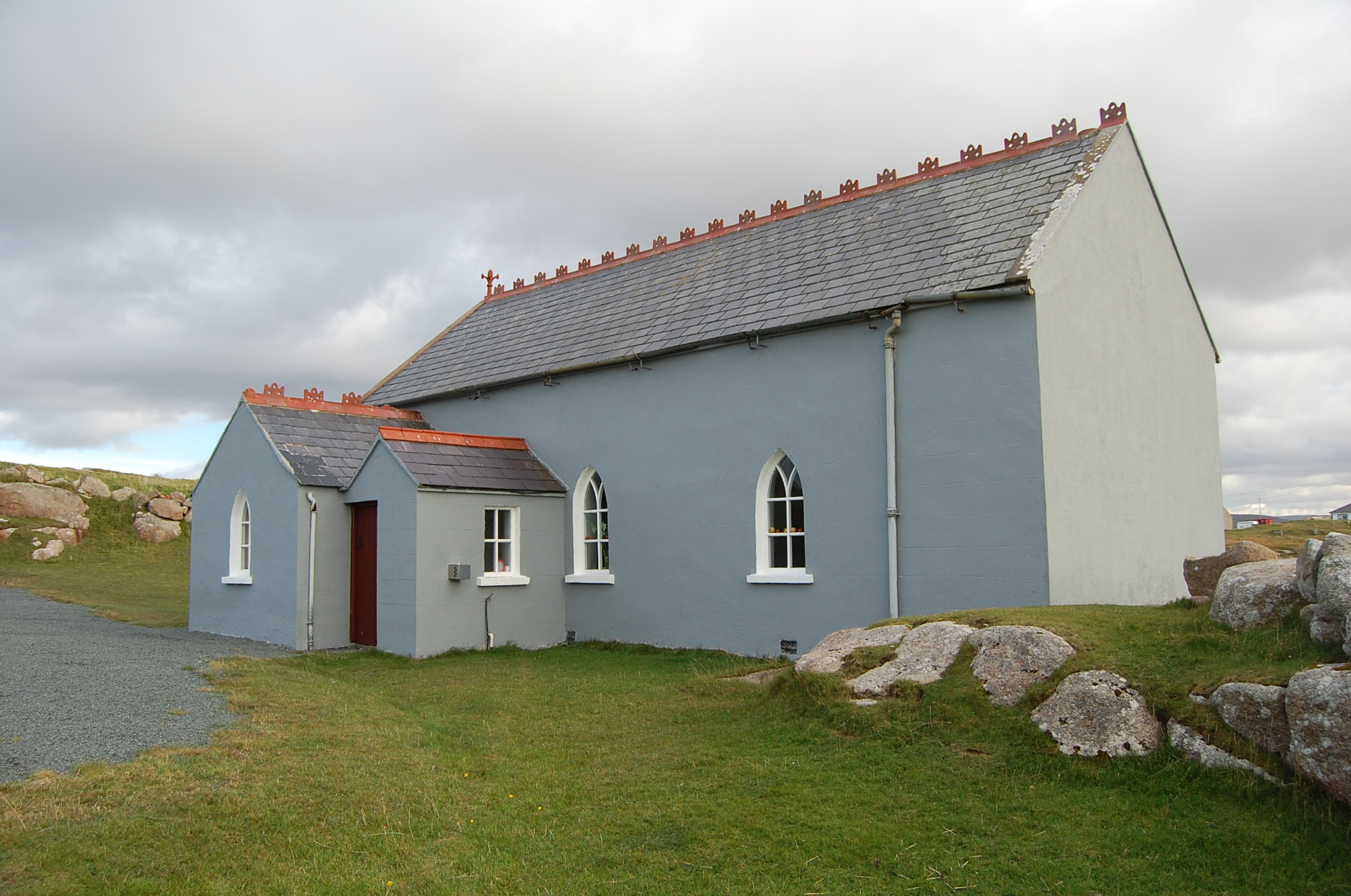 Saint Andrew's Church (Templecrone)watch tower · 439 yd
 Braade StrandBeach / strand · 1110 yd
 CarrickfinnOfficial bathing water · 1262 yd
 Stone Circle near Donegal AirportPublicly named stone circle · 1666 yd
 Holy well in Rann Na FeirsteHoly well · 1712 yd
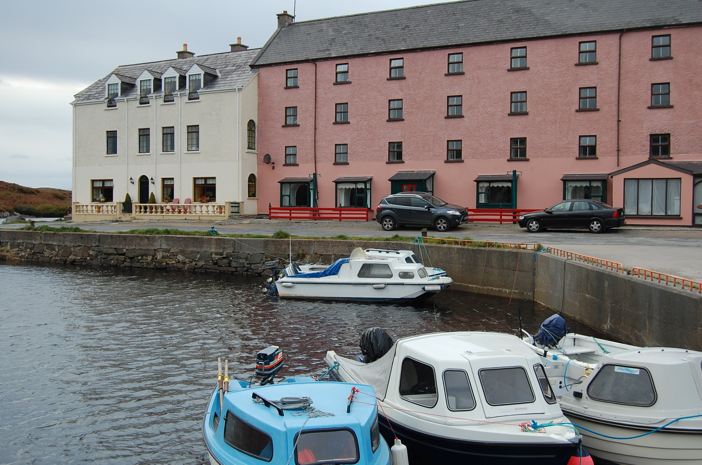 quay/wharfquay/wharf · 1759 yd
 Trá Dún MórBeach / strand · 1.3 mi
 An tOileán CarrachIslet · 1.7 mi
 Rinnalea Point / Na Reanna LiathaHeadland · 2.4 mi
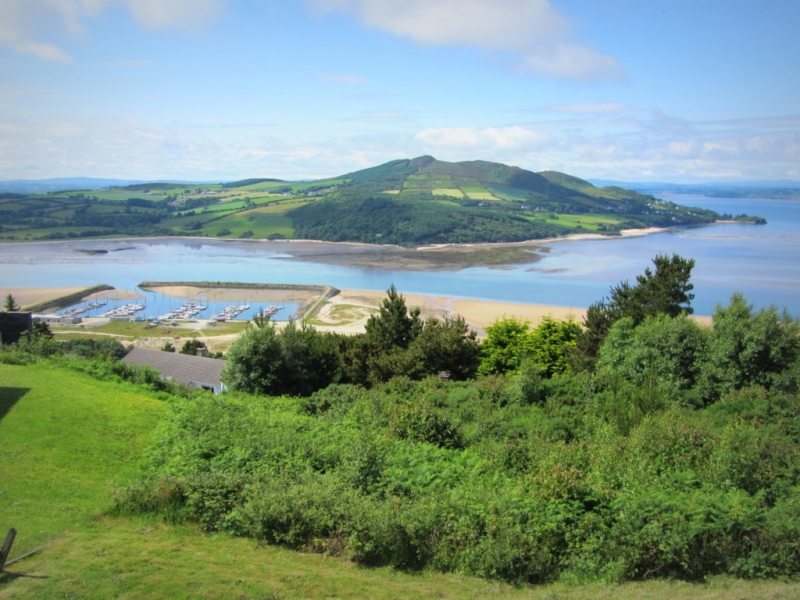 Allagh IslandIslet · 2.4 mi
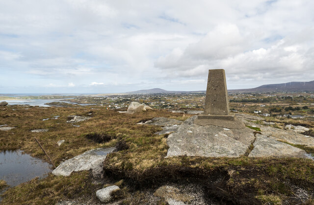 Annagary HillMountain / peak · 2.5 mi
 Main WallCliff · 3.3 mi