What is recorded here
Knowles (1901, 347-8) refers to the finding of midden material including flint, bones, shells and a hammerstone at a number of places in the vicinity of a place called Carnveagh and Molfin nearby. There are no townlands of these names in Donegal but the description suggests that they are in the vicinity of Bunbeg so perhaps Carnboy is the townland in question.
The above description was derived from the 'Archaeological Survey of County Donegal. A description of the field antiquities of the County from the Mesolithic Period to the 17th century.' Compiled by: Brian Lacey with Eamon Cody, Claire Cotter, Judy Cuppage, Noel Dunne, Vincent Hurley, Celie O'Rahilly, Paul Walsh and Seán Ó Nualláin (Lifford: Donegal County Council, 1983). In certain instances the entries have been revised and updated.
Date of upload: 22 September 2008
The monument record does not grant public access. Check the route and ask the landowner before entering private land.
- What survives
- Recorded monument
Places near here
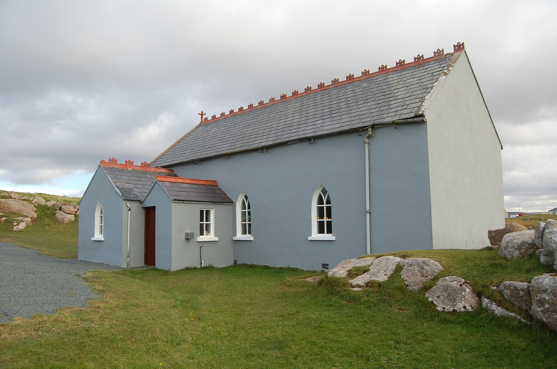 Saint Andrew's Church (Templecrone)watch tower · 883 yd
 Trá Dún MórBeach / strand · 1569 yd
 An tOileán CarrachIslet · 1.0 mi
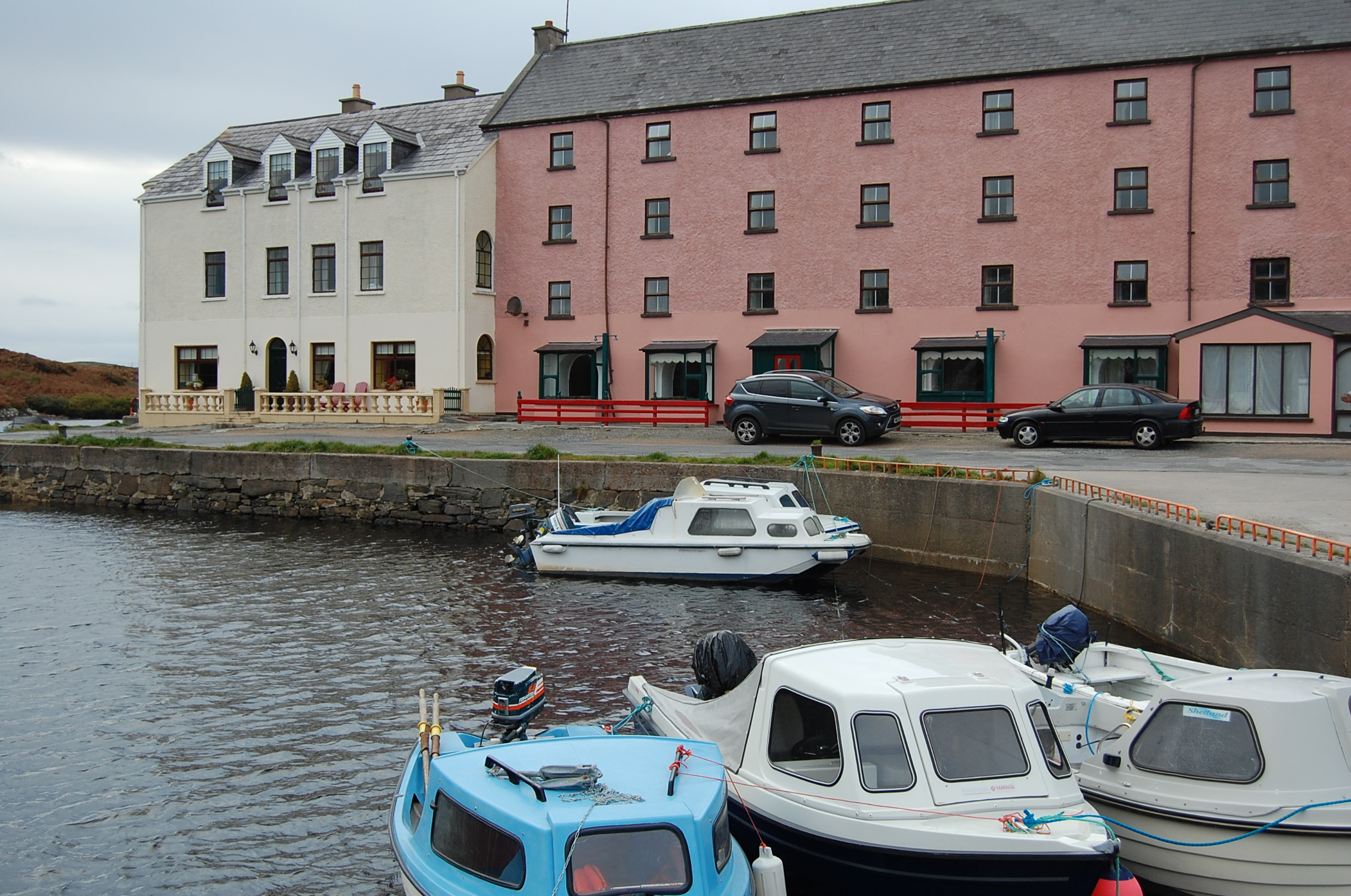 quay/wharfquay/wharf · 1.0 mi
 CarrickfinnOfficial bathing water · 1.2 mi
 Braade StrandBeach / strand · 1.3 mi
 Holy well in Rann Na FeirsteHoly well · 1.5 mi
 Stone Circle near Donegal AirportPublicly named stone circle · 1.5 mi
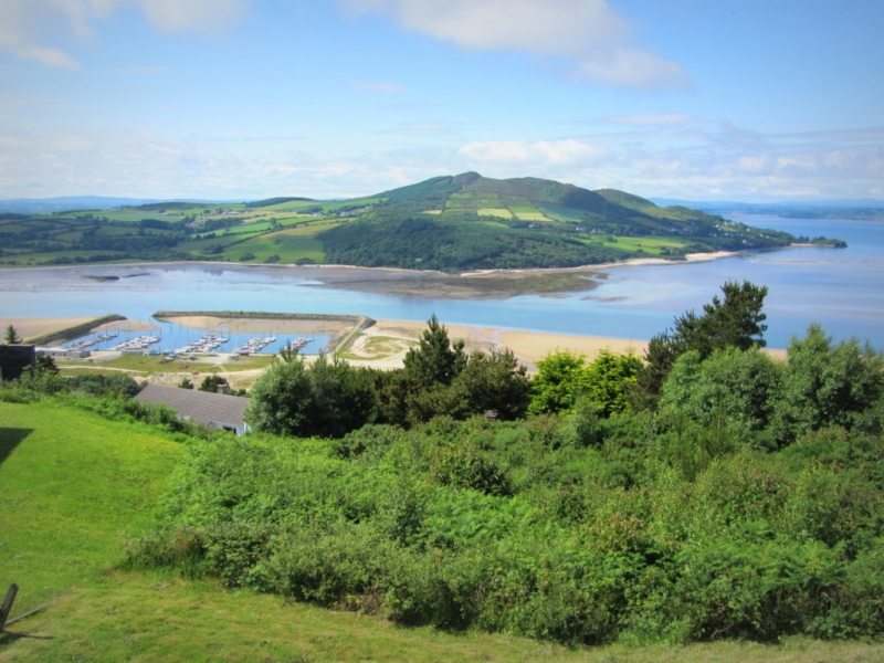 Allagh IslandIslet · 1.8 mi
 Rinnalea Point / Na Reanna LiathaHeadland · 2.4 mi
 Main WallCliff · 2.7 mi
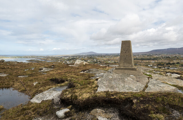 Annagary HillMountain / peak · 3.1 mi