What is recorded here
Beneath the sand-dunes on an exposed shoreline SE of a golf course. An extensive midden, numerous traces of which have been exposed in W faces of the eroding dunes. Consists mainly of mixed shell deposits, with burnt stone, charcoal and possible hearths also in evidence. (Killanin and Duignan 1967, 94)
The above description is derived from the published 'Archaeological Inventory of County Galway Vol. I - West Galway'. Compiled by Paul Gosling (Dublin: Stationery Office, 1993).
Date of upload: 05 August 2010
The monument record does not grant public access. Check the route and ask the landowner before entering private land.
- What survives
- Recorded monument
Places near here
 Doon HillMountain / peak · 785 yd
 Doon Hill Signal TowerRuins · 797 yd
 Ballindoon Church (in ruins)Church · 977 yd
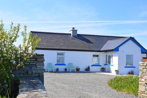 Bawn in Bunowen MoreBawn · 1741 yd
 Strawbeach IslandIslet · 1.3 mi
 IllaunurraIslet · 1.4 mi
 Riding StableHeritage attraction · 1.5 mi
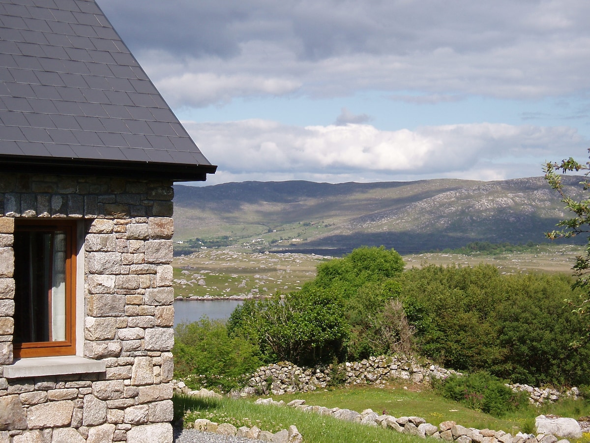 Hut site in BallinaleamaHut site · 2.1 mi
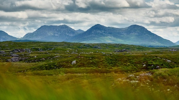 Holy well in DerrigimlaghHoly well · 2.4 mi
 Mannin Bay Coral StrandBeach / strand · 3.3 mi
 Mannin BayBay · 3.3 mi
 Slyne HeadHeadland · 4.6 mi