What is recorded here
Stradbally North holds a buried forge beneath a famine plot, where charcoal and iron slag still rest under boulder clay. People died later, were buried above the heat, and houses now stand over both. The metalwork predates the graves but never surfaced in maps or memory.
In burial ground (LI001-008001-), approx. 120m S of the River Shannon. Not depicted on OS historic mapping. According to local information, the burials are understood to form part of a famine plot. Trial trenching of the burial ground revealed a thin deposit of charcoal and iron slag under a thick layer of redeposited boulder clay (Hodkinson 1991). No dating evidence was available in the deposit, however it was deemed to pre-date the burials (ibid). The site documentation and a sample of the slag are housed in the Limerick Museum. Site now appears to have been developed as a small housing estate that is visible on Digital Globe aerial photography taken 2011-13.
Compiled by: Alison McQueen, and Vera Rahilly
Date of upload: 18 June 2020
The monument record does not grant public access. Check the route and ask the landowner before entering private land.
- What survives
- Recorded monument
Places near here
 Burial ground in Stradbally NorthBurial ground · 17 yd
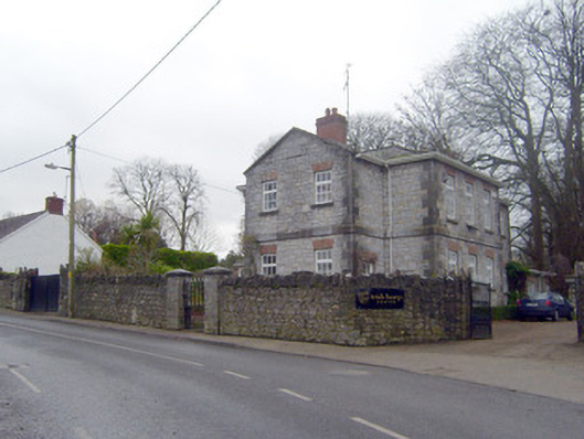 The Old School Houseschool · 82 yd
 court housecourt house · 100 yd
 Castle ConnellRuins · 174 yd
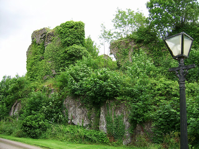 Castle Connell (in ruins)Castle, Anglo-Norman masonry castle · 183 yd
 Man-made underground passage in Stradbally NorthMan-made underground passage · 198 yd
 Old PumpHeritage attraction · 2.9 mi
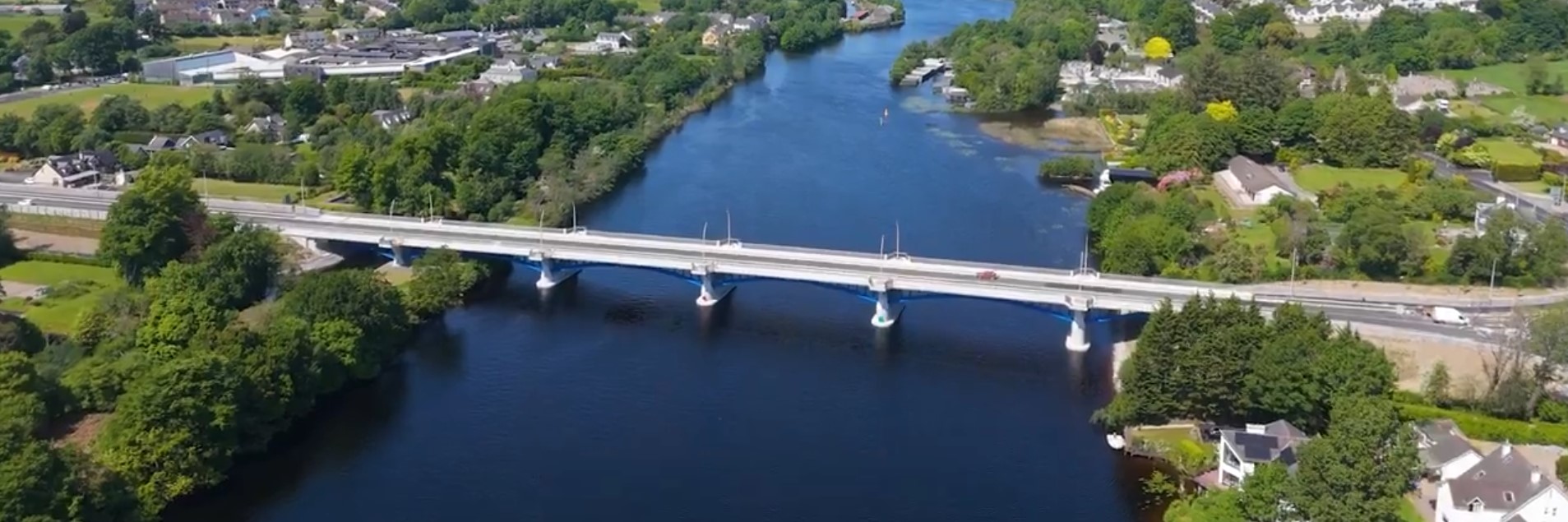 parking na O'Briena bridgeHeritage attraction · 2.9 mi
 Campus MapVisitor information · 3.8 mi
 Visitor CentreVisitor information · 3.8 mi
 The Pollagh TrailNature reserve · 4.8 mi
 Kilroughil Graveyard (Site of)Archaeological place · 4.9 mi