What is recorded here
Situated in pasture on a plateau around Rathmoylan church (WA027-041001-), overlooking an E-W stream c. 30m to the N. The earthworks (WA027-039----) were removed c. 1983 when several middens (WA027-039002-) were noted together with evidence of metal-working in the form of slag and what may be a spearhead (Decie 1983, 57). The base of a pot quern from the site is kept at a nearby farmhouse.
Decie (1983) Old Waterford Society Survey, Decies, No. 24, 42-57.
Compiled by: Michael Moore
Date of upload/revision: 10 June 2011
The monument record does not grant public access. Check the route and ask the landowner before entering private land.
- What survives
- Recorded monument
Places near here
 Church in ruinsChurch · 28 yd
 Field system in RathmoylanField system · 89 yd
 IndicatedFairy fort / earthen ringfort · 183 yd
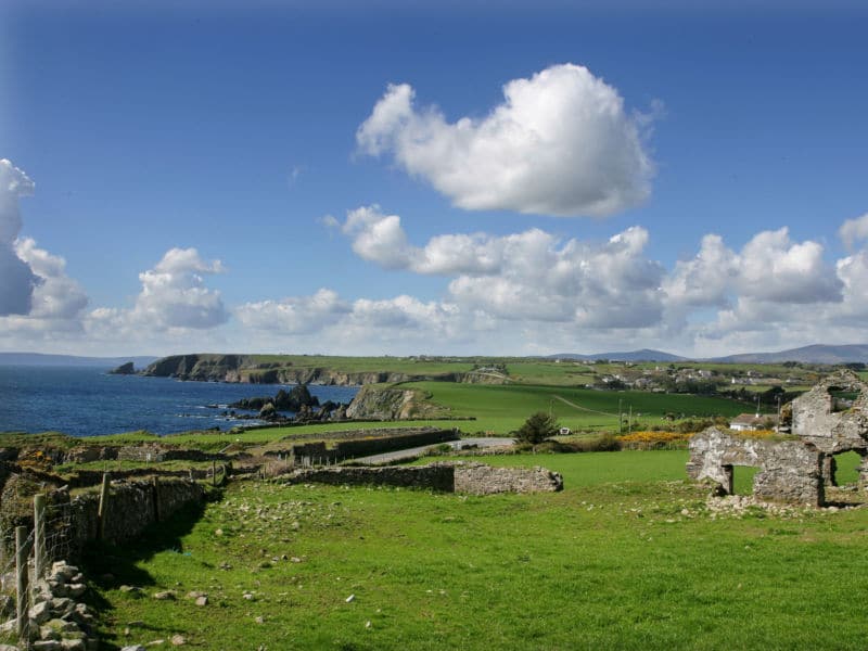 South East Coastal DriveVisitor information · 378 yd
 Rathmoylan CoveBeach / strand · 789 yd
 Portally-Rathmoylan Cliff WalkWalking route · 895 yd
 Rathmoylan-Ballymacaw Cliff WalkWalking route · 1115 yd
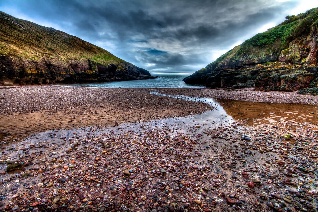 Portally CoveBeach / strand · 1427 yd
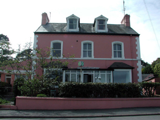 Tír na nÓghouse · 1.8 mi
 Lost at Sea Memorial WallMemorial · 1.9 mi
 Castle in ruinsCastle, Anglo-Norman masonry castle · 1.9 mi
 Main ForestWood · 1.9 mi