What is recorded here
Identified in 2001 through the monitoring of topsoil-stripping on the eastern slope of Boston Hill (OD 538 feet) to facilitate the expansion of a quarry (Excavations 2001, No. 638, 01E0916: www.excavations.ie). Archaeological deposits were uncovered in seven areas: Area 1 (Designated KD017-052----), Area 2 (Designated KD017-050----), Area 3 (Designated KD017-051----), Area 4 (Designated KD017-053----), Area 5 (Designated KD017-054----), Area 6 (Designated KD017-055----) and Area 7 (Designated KD017-056----). According to the excavator (SMR file), 'Following discussions with the client, it has been established that quarry works will not impact upon Areas 2 to 7 for an estimated 30 years. It may therefore be possible to provide archaeological mitigation for these areas in the form of preservation in situ.'
Area 4 (KD017-053----) was approximately 20m north-west of Area 3 in the southern part of the site. There were sixteen features within an area of 750m2. The archaeology was comprised of possible pits and stake-holes. An integrated structural feature may become apparent when the area is fully cleaned back and excavated. Iron slag and burnt stone contained within two of the features suggest that this area is directly related to the metalworking activities of Area 3 (KD017-051----).
Compiled by: Gearóid Conroy
Date of upload: 10 June 2011
The monument record does not grant public access. Check the route and ask the landowner before entering private land.
- What survives
- Recorded monument
Places near here
 Enclosure in ConlanstownEnclosure · 504 yd
 Enclosure in Kilmoney NorthEnclosure · 1411 yd
 Church in Kilmoney NorthChurch · 1566 yd
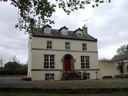 Glebe Houserectory/glebe/vicarage/curate's house · 1639 yd
 Chair of KildareCastle, unclassified · 1.3 mi
 Bithia Mary CrokerMemorial · 2.9 mi
 Site of CastleCastle, tower house · 3.0 mi
 Community OrchardNature reserve · 3.2 mi
 Killinthomas Wood (Rathangan)Wood · 3.4 mi
 Lullymore Heritage ParkHeritage attraction · 3.6 mi
 The Fairy BowerHeritage attraction · 3.6 mi
 Grand Canal WayVisitor information · 5.8 mi