What is recorded here
On a gravel ridge beside the Newry River estuary, two small hearths and fire-hardened clay marked a place where finished objects were polished rather than crude metal cast. The work likely used oak fuel and sat near corn-drying kilns, suggesting a busy riverside household rather than a distant factory. A willow charcoal fragment dated the activity between AD 1044 and 1218, placing quiet skilled hands at that slope before the bridge ever crossed the water.
Situated on the slight NE-facing slope of gravel ridge between the high and low water marks on the SW shore of the Newry River estuary. Archaeological excavation (E 4498) in advance of a new bridge recorded a metal-working area and two corn-drying kilns. The evidence of metal-working consisted of two small hearths and a spread of fire-hardened clay and ash extending E from one of the hearths. The metalworking was the finishing of objects and very little slag was recovered. Oak was the principal firing material used and a radiocarbon date of AD 1044-1218 is recorded from a piece of willow charcoal. (Walsh 2015, 305-06)
Date of upload: 25 October, 2016
The monument record does not grant public access. Check the route and ask the landowner before entering private land.
- What survives
- Recorded monument
Places near here
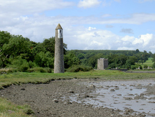 Newry River Lighthouse (Rear)beacon · 8 yd
 Ecclesiastical site in CornamucklaghEcclesiastical site · 216 yd
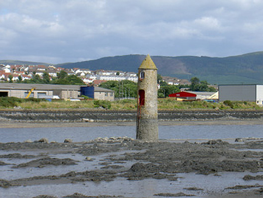 Newry River Lighthouse (Front)beacon · 284 yd
 Narrow Water KeepHeritage attraction · 446 yd
 TOWER-HOUSE AND BAWN: NARROW WATER CASTLE in Narrow WaterTOWER-HOUSE AND BAWN: NARROW WATER CASTLE · 461 yd
 Narrow Water WatchtowerVisitor information · 461 yd
 Warrenpoint ambushambush · 471 yd
 Narrow Water CastleCastle · 911 yd
 Fulacht fia in CornamucklaghFulacht fia · 1486 yd
 Joanne ReillyMemorial · 1722 yd
 Anglesey MountainMountain / peak · 1.5 mi
 Ring of Gullion Way - Section 2Walking route · 1.9 mi