What is recorded here
Archaeological excavation (04E0323) in advance of the N30 road re-alignment at site 7 uncovered three shallow pits (diam. c. 1m to 2.2m x 2.5m; max D 0.15m) filled with black organic clay and traces of slag. In addition there are layers (dims. c. 5m x c. 2m) with a large content of slag. A curvilinear ditch (L 4.4m; Wth 0.3-0.4m; max. D 0.15m) is associated with one of the pits. Iron-working was probably conducted in the vicinity, but not at the location.
Compiled by: Michael Moore
Date of upload: 3 July, 2012
The monument record does not grant public access. Check the route and ask the landowner before entering private land.
- What survives
- Recorded monument
Places near here
 Water millWater mill, horizontal-wheeled · 554 yd
 Fulacht fia in CoolamurryFulacht fia · 872 yd
 Ecclesiastical enclosure in TemplescobyEcclesiastical enclosure · 964 yd
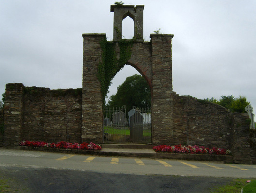 gates/railings/wallsgates/railings/walls · 998 yd
 Daphney CastleCastle, unclassified · 1.9 mi
 Wilton Ho.Castle, unclassified · 2.2 mi
 National 1798 CentreMuseum · 3.1 mi
 Duffry GateMemorial · 3.1 mi
 Battle of Vinegar HillMajor battlefield · 3.1 mi
 U.N. Peace MemorialMonument · 3.2 mi
 Raheennahoon HillMountain / peak · 4.9 mi
 Pedunculate OakPedunculate Oak · 5.8 mi