
What is recorded here
Situated on the N-facing slope of a low rise on a gentle S-facing slope. Archaeological excavation (04E0325) in advance of the N30 re-alignment at site 5a uncovered five troughs beneath a patchy deposit of burnt mound material. The troughs are subcircular (dims. 2.1m x 1.5m; D 0.4m to 3.7m x 2.16m; D 0.7m) but one is rectangular (dims. 2.4m NW-SE;1.6m NE-SW; D 0.56m) and steep-sided with traces of a stone lining at one end. The troughs are in a rough E-W line with the kiln (WX025-054002-) c. 12m further E. (Fegan 2004; 2007)
Compiled by: Michael Moore
Date of upload: 3 July, 2012
The monument record does not grant public access. Check the route and ask the landowner before entering private land.
- What survives
- Recorded monument
Places near here
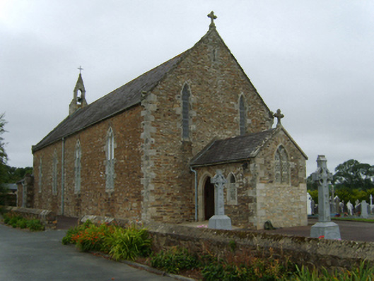 Saint David's Catholic Churchchurch/chapel · 1102 yd
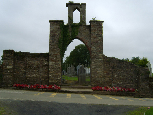 gates/railings/wallsgates/railings/walls · 1105 yd
 CrossCross, Churchyard cross · 1372 yd
 Ecclesiastical enclosure in MoneytuckerEcclesiastical enclosure · 1677 yd
 Wilton Ho.Castle, unclassified · 2.2 mi
 Daphney CastleCastle, unclassified · 2.4 mi
 National 1798 CentreMuseum · 3.5 mi
 Duffry GateMemorial · 3.6 mi
 Battle of Vinegar HillMajor battlefield · 3.6 mi
 U.N. Peace MemorialMonument · 3.6 mi
 Raheennahoon HillMountain / peak · 4.5 mi
 Pedunculate OakPedunculate Oak · 6.2 mi
Other information
Photo: Credit not shown in the picture search · Rights wording not checked; contact us if this picture should be removed