What is recorded here
In gently sloping pasture beside a seasonal turlough. A metalworking site excavated in 2006 in advance of the N9/N10 Kilcullen to Waterford road scheme. (Excavation licence no. E2502). Removal of deposits of anvil residue and charcoal-rich soil revealed three large shallow pits and several stake-holes which may represent the remains of a smithy. Several small hearths were also found outside the remains of an earth-built structure (c. 2.5m x 3.5m). Material tested yielded calibrated radiocarbon dates of 1471–1665 AD and 1785–1792 AD. (Laidlaw 2009, 254, no. 998; Laidlaw 2010)
Compiled by: Mary Tunney
Date of upload: 18 September 2013
The monument record does not grant public access. Check the route and ask the landowner before entering private land.
- What survives
- Recorded monument
Places near here
 Dangan Bridgebridge · 862 yd
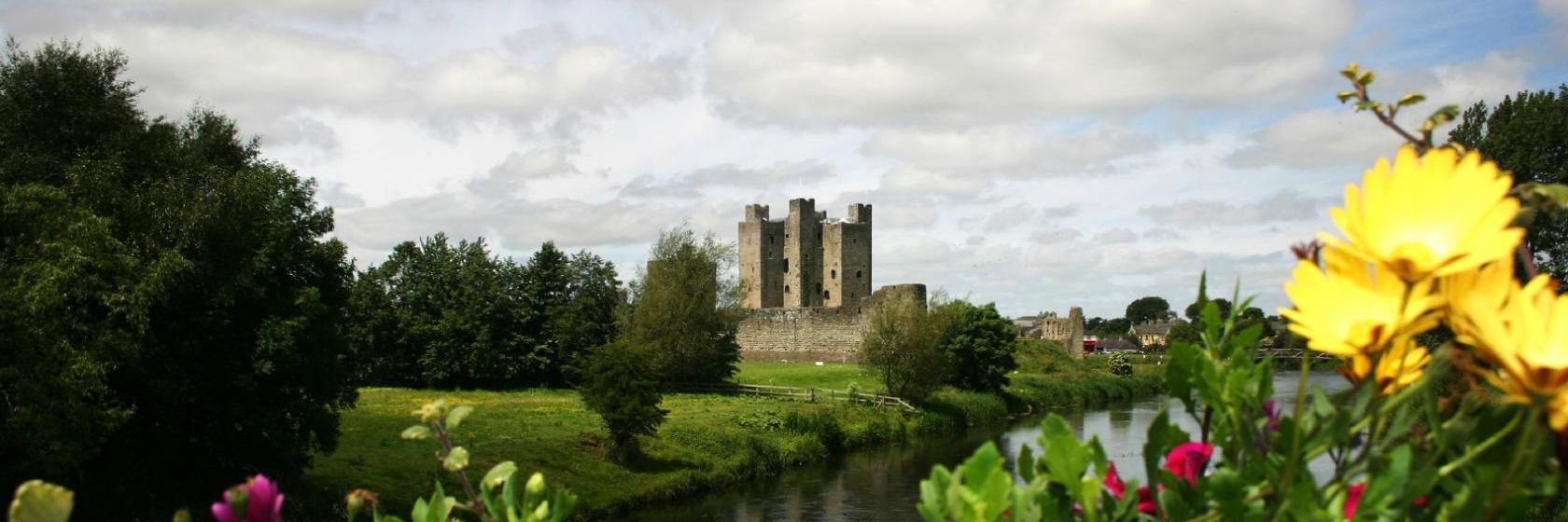 Dangan Castle (Site of)Castle, unclassified · 898 yd
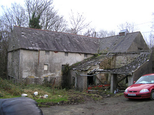 mill (water)mill (water) · 916 yd
 Rahard West Ringfort (rath)Archaeological place · 1329 yd
 Ballydaw, KilkennyArchaeological place · 1.1 mi
 Tory HillMountain / peak · 1.7 mi
 Clonassy WoodForest · 1.9 mi
 Graul Burkes Castle (Site of)Castle, unclassified · 2.2 mi
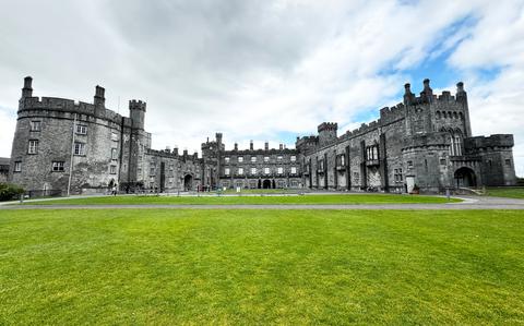 Ballynaboley WoodForest · 2.8 mi
 Bishop's Palace MuseumMuseum · 5.3 mi
 9/11 MemorialMemorial · 5.3 mi
 Mount Congreve GardensHeritage attraction · 6.7 mi