
What is recorded here
Places near here
Photo credits
- Ken Crocket, Wikimedia Commons · CC BY-SA 2.0
- Richard Webb, Wikimedia Commons · CC BY-SA 2.0
- Maker not stated on source page, au.pinterest.com
- Maker not stated on source page, www.airbnb.ca
- Maker not stated on source page, en.wikipedia.org
- Kevin Rae, Wikimedia Commons · CC BY-SA 2.0
- Alan O'Dowd, Wikimedia Commons · CC BY-SA 2.0
- Chris Wimbush, Wikimedia Commons · CC BY-SA 2.0
- Maker not stated on source page, commons.wikimedia.org
- Alan Murray-Rust, Wikimedia Commons · CC BY-SA 2.0
 Menstrie, Ochil Road, Old BridgeRoad Bridge · 66 yd
Explorer Tom Menstrie, Ochil Road, Old Bridge gave up sweets for Lent, but kept the traffic jams. It’s an old bridge on Ochil Road…
 Menstrie, Main Street East, War MemorialWar Memorial (20th Century) · 97 yd
Explorer Tom The War Memorial in Menstrie Main Street East is sitting there like it’s waiting for a bishop who refused to visit…
 Menstrie, Main Street, Parish ChurchChurch (19th Century) · 117 yd
Explorer Tom Menstrie Parish Church on Main Street seems to have taken a wrong turn somewhere around 1890 and just kept going. It is…
 Menstrie, Church HallChurch Hall (19th Century) · 121 yd
Explorer Tom Menstrie, Church Hall is where some priest lost a bet involving a very large ham. A 19th-century church hall with no…
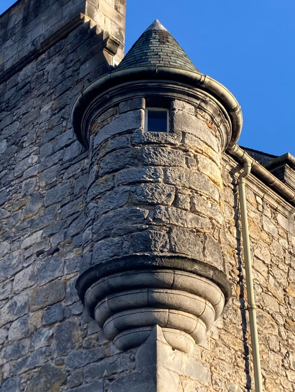 Menstrie, Castle Road, Menstrie Castle North Wing, 3 - 4 Castle CourtFortified House, House(s) · 197 yd
Explorer Tom Menstrie Castle North Wing is part of a fortified house with an unassigned period, which basically means it’s been…
 Menstrie, Midtown, Windsor CastlePlaque (19th Century) · 199 yd
Explorer Tom Menstrie, Midtown, Windsor Castle is playing hide-and-seek with me. A plaque from the 1800s claims a goat once ruled…
 Menstrie CastleFortified House, House(s) (17th Century) · 210 yd
Explorer Tom Menstrie Castle is a fortified house with a period unassigned, which basically means nobody knows when it was built or…
 Myreton HillFindspot (20th Century), Lithic Implement(s) (stone) · 368 yd
Explorer Tom Myreton Hill’s name probably means 'Mud Town' if you translate it badly enough, which is exactly what happened when…
 MenstrieCairn (possible) · 495 yd
 Menstrie, Main Street West, West Church Hall, War MemorialsChurch (20th Century), Mission Hall (19th Century) - (20th Century), War Memorial(s) (20th Century) · 495 yd
Explorer Tom West Church Hall in Menstrie has war memorials that look like they are judging your parking, or maybe just your life…
 Menstrie StationRailway Station (19th Century) - (20th Century) · 588 yd
Explorer Tom Menstrie Station saw a love story go horribly wrong right next door in 1985. The train left without them, which is…
 MyretounBarn (post Medieval) · 822 yd
Explorer Tom Myretoun Barn is having a massive identity crisis. It’s post-medieval but acts like it forgot its own birthday at the…
More archaeology and monuments in Clackmannanshire · All of Clackmannanshire

What do you know about this place?Tap to add a comment or ask a question