
What is recorded here
Scotland's National Record of the Historic Environment records Meikle Logie as Cup Marked Rock (prehistoric). The official map says its point is accurate as follows: NGR given to the nearest 1m. The record does not by itself mean that the public may enter the place.
Meikle Logie is likely from the Neolithic or Bronze Age period, based on the presence of cup marks, which are commonly associated with ritual or ceremonial activity in prehistoric Scotland. The site may have been used for symbolic or ritual purposes, though specific folklore or detailed function remains unrecorded.
The historic-place record does not grant public access. Check current conditions and ownership before entering land or a building.
Places near here
 Meikle LogieTownship (period Unassigned) · 224 yd
 Logie BurnCairnfield (medieval) - (post Medieval), Rig and Furrow (medieval) - (post Medieval), Track(s) (medieval) - (post Medieval) · 350 yd
 Outfields of LogieBuilding (19th Century) · 673 yd
 LagganallachieBurial Ground (medieval), Church (medieval)(possible), Church (19th Century), Gravestone(s) (18th Century) · 677 yd
 Falls of the BraanWaterfall · 1207 yd
 Dunkeld, the Hermitage, Ossian's CaveFolly (18th Century) · 1.2 mi
 Pine Cone PointViewpoint · 1.3 mi
 Falls of BraanWaterfall · 1.4 mi
 Ossian's HallVisitor information · 1.5 mi
 Torchuaig HillMountain / peak · 1.5 mi
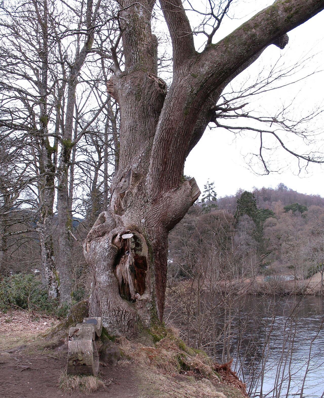 Niel Gow's OakOak · 1.9 mi
 Polney CragCliff · 1.9 mi
Other information
Photo: Lis Burke · CC BY-SA 2.0