What is recorded here
This site is recorded in the 'Statistical survey of County Monaghan' as follows: 'Near Carrickmacross, is one of these great Druidical temples, which are seen in some parts of Ireland. It consists of an oblong mound of earth which widens to the centre, and is there twenty feet across (6.1m); at either end it measures but eight feet (2.44m), and is a hundred feet long (30.48m). This mound was enclosed with great oblong stones, set up on an end; a good deal of it has been destroyed for the sake of the limestone, which surrounds it'. (Coote 1801, 142). This account was paraphrased in Lewis' 'Topographical dictionary' (1837, ii, 381). The description does not accord with any known megalithic monument and the exact location and nature of this site are uncertain.
Date of upload: 14 April 2011
Megalithic tomb, likely Neolithic in date. Its significance lies in contributing to the understanding of prehistoric funerary practices and monument construction in eastern Ulster.
This remains an important historical record, but the official description says the monument is no longer visible or has been destroyed. The monument record does not grant public access. Check the route and ask the landowner before entering private land.
- What survives
- No visible remains or recorded as destroyed
Places near here
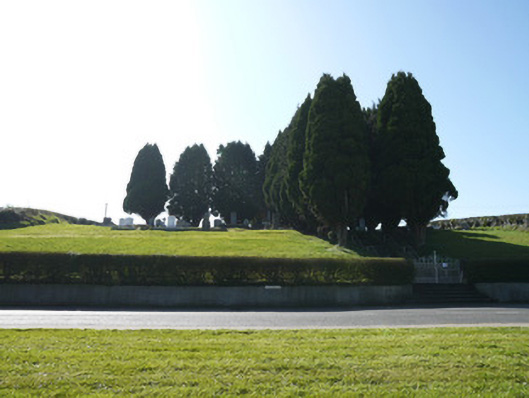 God's Acregraveyard/cemetery · 141 yd
 Crannog in Drummond OtraCrannog · 186 yd
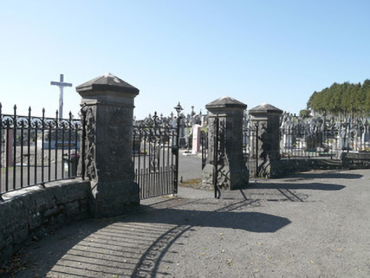 Saint Joseph's Cemeterygates/railings/walls · 286 yd
 IndicatedCrannog · 444 yd
 Horse-chestnutHorse-chestnut · 1.4 mi
 European BeechEuropean Beech · 1.4 mi
 Mannan Castle (in ruins)Castle, Anglo-Norman masonry castle · 2.7 mi
 TobernagalliaghSpring · 3.7 mi
 Flat cemetery in AnnaheanFlat cemetery · 3.8 mi
 Drumerlough MoreMountain / peak · 4.7 mi
 BarleyhillMountain / peak · 4.8 mi
 Natural Play AreaMemorial · 5.1 mi