What is recorded here
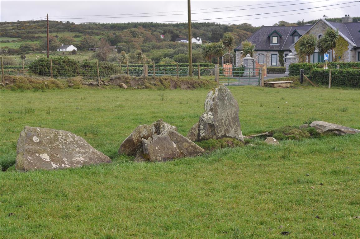
Labby Dermot and Grania, as local tradition names the tomb, still holds two opposed stones on a gentle slope above Trawbreaga Bay. The western stone leans outward as if straining toward the sea, while fallen slabs and a faint ground shadow suggest a larger chamber has since collapsed into the pasture. What stood complete in 1848 has reduced to a broken alignment, yet the bay remains visible across the low ground, giving the stones a direction and the dead a view.
The monument, 5km NW of Carndonagh, is on a gentle NW-facing slope 1.2km from Trawbreaga Bay, which is visible across low-lying ground to the N. The site is in pasture broken by occurrences of outcropping rock.
Little of the monument survives. Two opposed orthostats may be interpreted as the sides of a gallery orientated NNE-SSW. The western one, pitched markedly outward, appears to have been skewed somewhat from its original position. South of each is a large prostrate slab. Both slabs may be fallen orthostats. Between 1.5m and 2m from the western side of the structure a drop in ground level, which can be traced over a distance of 10m, may represent the side of an enclosing mound.
The eastern orthostat, 1.05m long at ground level, is 1.35m in overall length when an overhang at its N end is included in the measurement. It is 1.3m high. The western orthostat would stand 0.85m high if upright. The western one of the prostrate slabs measures 1.7m by 1.3m by at least 0.2m thick. The eastern one, largely grass grown, is at least 1.5m in maximum dimension and over 0.1m thick.
An account of the tomb in an OS Revision Name Book (1848) shows it to have been then in a more complete state of preservation: 'These Standing Stones appear to be the remains of one of those remarkable antiquities called Labby Dermot and Grania. Its length northward is 15 feet [c. 4.6m] and main breadth 6 feet [c. 1.8m]. [It] is composed of four upright stones on the west side from 3 to 4 feet [c. 1.05-1.2m] high and two at the south end from 3 to 5 feet [c. 0.9-1.5m] high and one lying prostrate or rather in a sloping position 6 feet [c. 1.8m] long and 4 feet [c. 1.2m] broad. The east side is altogether destroyed.' Although it is not clear how the last sentence can be reconciled with the existing remains, it seems that a megalithic gallery stood here.
OS Revision Name Book, sheet 11 (1848), 2; Lacy 1983, 85, no. 472; Ó Nualláin 1989, 142; Colhoun 1995, 40, no. 11/49; RMP 1995, 11:5.
The above description was published in the 'Survey of the Megalithic Tombs of Ireland. Volume VI, County Donegal.' Compiled by: Eamon Cody (Dublin: Stationery Office, 2002).
Date of upload: 22 September 2008
Megalithic tomb in Rashenny is a portal dolmen dating to the Neolithic period. Its significance lies in its association with early megalithic traditions in the northwest of Ireland, reflecting patterns of burial and ritual practice common during the 4th to 3rd millennia BCE.
The monument record does not grant public access. Check the route and ask the landowner before entering private land.
- What survives
- Recorded monument
Places near here
 Rashenny Burial near the Standing StoneBurial · 907 yd
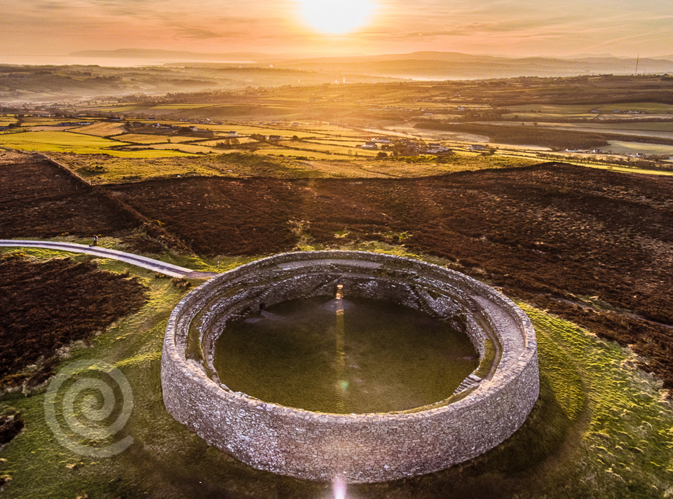 Former Altashane / Cabadooey Fairy FortFairy fort / ringfort · 1303 yd
 railway stationrailway station · 1529 yd
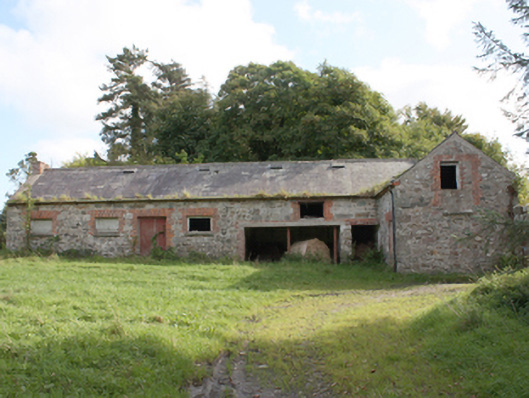 Donagh Church of Ireland Rectoryoutbuilding · 1.9 mi
 Dough Famine VillageHeritage attraction · 2.5 mi
 Doagh Famine VillageMuseum · 2.5 mi
 CastleCastle, unclassified · 2.7 mi
 Carndonagh Early Church GraveyardGraveyard · 3.0 mi
 Five Finger StrandBeach / strand · 3.2 mi
 Bawn in CarrickabraghyBawn · 3.3 mi
 Lag GraveyardGraveyard · 3.4 mi
 Glenevin Waterfall WalkOfficial walking route · 3.9 mi