What is recorded here
Killary Harbour is one of Ireland's deepest inlets, yet this is not a coastal tomb. It sits inland, near the head of a valley, where the land rises instead of releasing into water. The gallery is small, barely longer than a person outstretched, and its NE-SW alignment points across the valley rather than toward the sea. That distinction matters: the builders were not marking a horizon of water but a line of land, perhaps a route, a boundary, or a direction of descent. The harbour looms nearby, but the tomb belongs to the valley's own logic.
Near the head of a valley 1.5km to S of, and overlooking the inner reaches of, Killary Harbour. The tomb consists of a gallery (L c. 2.4m, Wth 1.25m at the broader, open E end) aligned NE-SW. The W end is closed by a large stone set outside the line of the side-walls. A single stone exposed to SE of the gallery may indicate outer walling. A large slab in the chamber area may be a displaced roofstone. The monument cannot be classified with certainty but appears to be related to the wedge-tomb class. (Gibbons and Higgins 1988d, 65)
The above description is derived from the published 'Archaeological Inventory of County Galway Vol. I - West Galway'. Compiled by Paul Gosling (Dublin: Stationery Office, 1993).
Date of upload: 05 August 2010
Neolithic passage tomb, dating to approximately 3000–2500 BCE. Its location overlooking Killary Harbour suggests it may have had ritual or ceremonial significance related to the surrounding landscape.
The monument record does not grant public access. Check the route and ask the landowner before entering private land.
- What survives
- Recorded monument
Places near here
 Leenaun Hill Far North-West TopMountain / peak · 754 yd
 Meall CheoMountain / peak · 1096 yd
 WaterfallHeritage attraction · 1619 yd
 Céibh an Lionáinharbour/dock/port · 1.1 mi
 The Sheep And Wool Heritage CentreHeritage attraction · 1.3 mi
 TobermurryHoly well · 1.3 mi
 Enclosure in Bun An MheascáinEnclosure · 1.3 mi
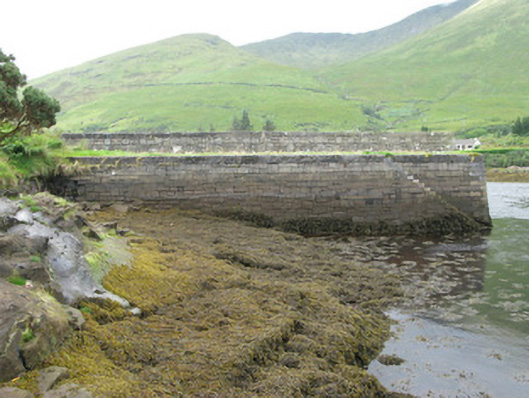 pier/jettypier/jetty · 2.4 mi
 HawthornHawthorn · 2.5 mi
 Aasleagh WaterfallWaterfall · 3.1 mi
 Crows IslandIslet · 4.6 mi
 Dear IslandIslet · 4.6 mi