What is recorded here
First marked on the OS 1:2500 plan (surveyed 1907) as 'The Long Woman's Grave'. According to OS records 'the county surveyor in making a new line of road has placed three feet of rubbish over the grave and its position cannot be accurately ascertained' (OS 6-inch Revision Name Book (1862), Sheet 5, 23). Without further evidence this monument cannot be accepted as a definite megalithic tomb.
Compiled by: Claire Breen
Date of upload: 18 November 2011
Megalithic tomb, likely dating to the Neolithic or early Bronze Age. Its significance lies in its historical documentation and partial destruction during early 20th-century road construction, highlighting the impact of modern development on ancient sites.
The monument record does not grant public access. Check the route and ask the landowner before entering private land.
- What survives
- Recorded monument
Places near here
 Long Woman's GraveArchaeological place · 32 yd
 Cooley MountainsMountain range · 989 yd
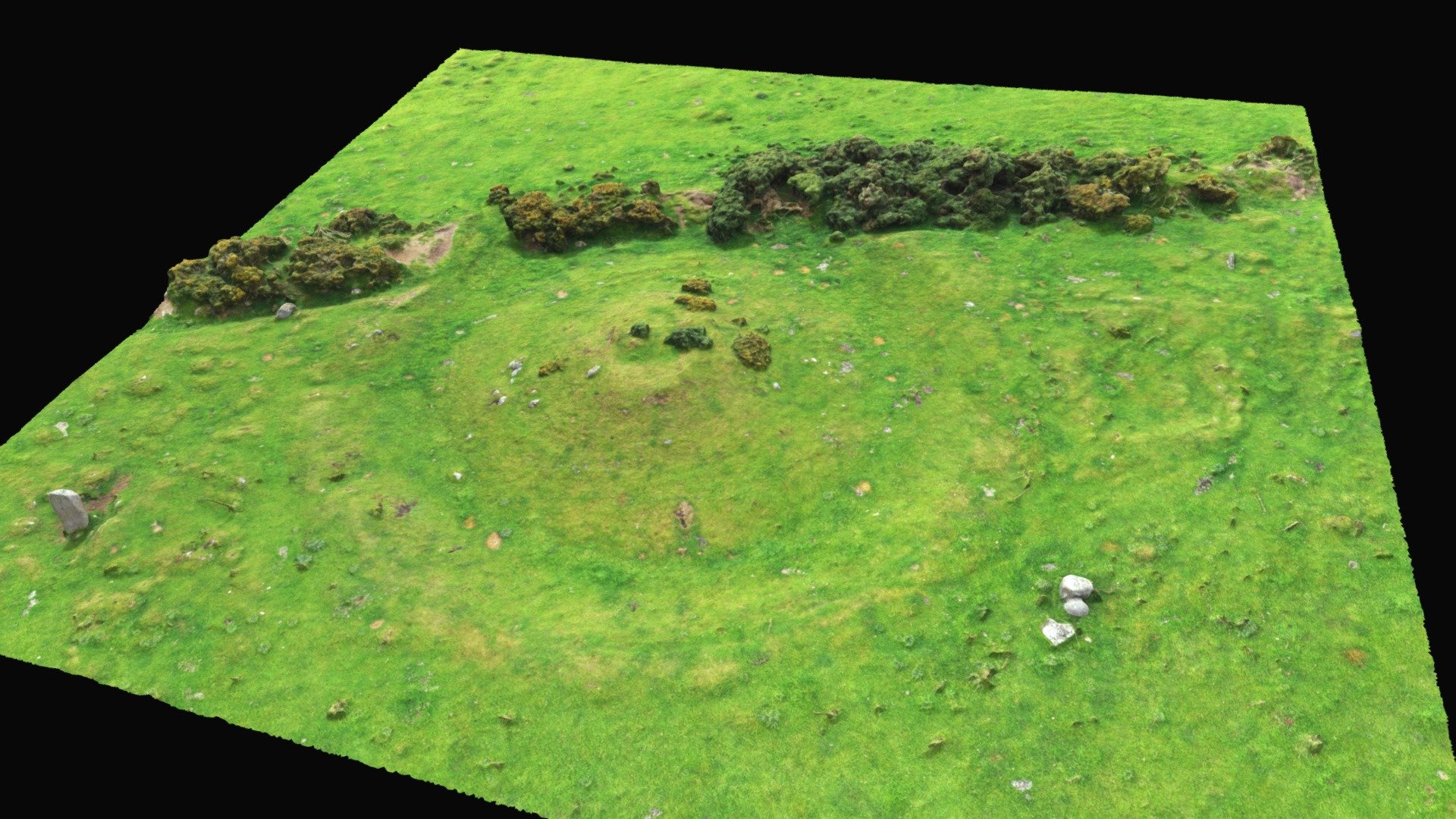 Hut site in BallinteskinHut site · 996 yd
 The Foxes RockMountain / peak · 1050 yd
 Field system in BallinteskinField system · 1058 yd
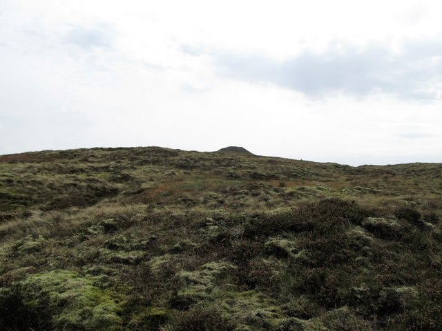 CarnavaddyMountain / peak · 1.1 mi
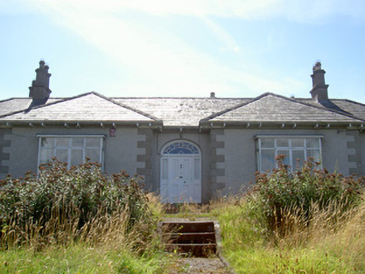 Nucella Lodgehouse · 1.8 mi
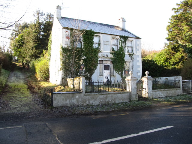 Oberon Villahouse · 1.8 mi
 Carlingford Lough GreenwayWalking route · 1.9 mi
 Joanne ReillyMemorial · 2.9 mi
 Ravensdale ForestForest · 3.0 mi
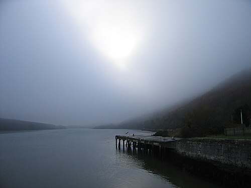 Carlingford LoughSea lough and mountain landscape · 3.1 mi