What is recorded here
Corraine once held four grey flags, the largest rising fourteen months above the grass beside the Ballybofey road. John Thompson farmed the land where they stood while Thomas Fagan measured their ghostly remains. The stones vanished before modern cameras arrived, leaving only a doubtful map note and a forgotten grave.
Thomas Fagan (1845-8) described what he claimed was 'the ruins of a Giant's Grave…now called the Grey Rocks' in this townland. Only one side of the structure, 15 feet (c. 4.6m) long, represented by four 'flags', then stood at the site. One of the stones was 41/2 feet (c. 1.4m) high, 51/2 feet (c. 1.7m) long and 1 foot (c. 0.3m) thick. The others were smaller. According to Fagan, the site was on the S side of the road leading from Ballybofey to Glenties on the holding of John Thompson. No trace of such a feature can now be found beside and immediately S of the short stretch of road that fronted the holding of John Thompson in or around 1857 (Griffith 1848-64). Doubt is cast on the status of this site by a note written alongside Fagan's description to the effect that it should not be engraved on the OS 6-inch map. The note is not signed but was apparently written by the reviser sent to check the site for inclusion on the map. The nature of the feature described by Fagan is uncertain.
Fagan 1845-8, book 13, 3.
The above description was published in the 'Survey of the Megalithic Tombs of Ireland. Volume VI, County Donegal.' Compiled by: Eamon Cody (Dublin: Stationery Office, 2002).
Date of upload: 22 September 2008
Megalithic tomb in Corraine is likely a portal dolmen, dating to the Neolithic period (c. 4000–2500 BCE). Its significance lies in its association with early megalithic funerary traditions in the region, though only partial remains are recorded.
The monument record does not grant public access. Check the route and ask the landowner before entering private land.
- What survives
- Recorded monument
Places near here
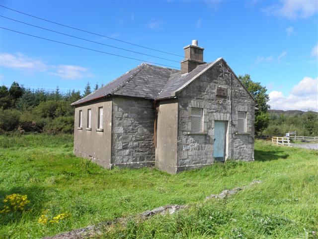 Meencarrigach National Schoolschool · 1.4 mi
 Glenmore Lodgeoutbuilding, walled garden, dovecote/pigeon house/aviary · 1.5 mi
 Holy WellHoly well · 1.7 mi
 Ecclesiastical site in DooishEcclesiastical site · 1.8 mi
 Lough HillMountain / peak · 2.6 mi
 AltnapasteMountain / peak · 2.6 mi
 Drumboe WoodForest recreation place · 4.2 mi
 Killeter ForestForest · 7.5 mi
 Ard na Mona WoodOfficial walking route · 9.0 mi
 Old CastleCastle, tower house · 10.0 mi
 Newmills Corn and Flax MillsHeritage attraction · 10 mi
 Site of Castle SollusCastle, unclassified · 10 mi