What is recorded here
Caoldroim Uachtarach once held a broad mound called Dermot and Grania's Bed, where two long stone chambers waited beneath the grass. Thomas Fagan measured the structure in 1845, but the land has since swallowed the memory and shape of that quiet chamber. What remains is a name, a ratio of lengths, and the suspicion that two people still lie angled inside the earth, untouched by time but forgotten by everyone above them.
In 1845 Thomas Fagan (1845-8) visited 'an ancient sepulture locally called Dermot and Grania's Bed' in this townland. His account suggests that there was a mound or cairn here measuring c. 30 yards (c. 27.4m) by 20 yards (c. 18.3m) by 7 feet (c. 2.15m) high in which there were two 'graves', one 7 feet (c. 2.15m) long, the other 9 feet (c. 2.75m) long, and both 2-3 feet (c. 0.6-0.9m) wide. These 'graves' were 'enclosed at sides and ends by great slabs set edge and endways in the ground and standing 1 to 41/2 feet [c. 0.3-1.4m] above the bottom of the graves'. Fagan noted that some interference had taken place at the site.
This site is not shown on OS 6-inch maps. According to Fagan, it stood a 1/4 mile (c. 400m) W of the road from Falcarragh to Dunlewy on the holding of James Ferry and Denis Duggan. It is not known whether the former is the James Ferry, one of a number bearing that surname, listed as occupier of a small parcel of land in this townland in 1857 (Griffith 1848-64). A number of persons named Duggan or Doogan are also listed but none with the Christian name Denis, nor is there any instance at this time, some twelve years after Fagan's visit, of a parcel of land in the joint possession of a Ferry and a Duggan. A general search in the area where James Ferry held land in 1857 failed to reveal any trace of the site, and on the basis of limited enquiry there seems to be no local knowledge of it.
The precise nature of the feature described by Fagan is uncertain. It is conceivable that it was a megalithic tomb, but more compelling evidence of its nature would be required to warrant its acceptance as such.
Fagan 1845-8, book 5, 26.
The above description was published in the 'Survey of the Megalithic Tombs of Ireland. Volume VI, County Donegal.' Compiled by: Eamon Cody (Dublin: Stationery Office, 2002).
Date of upload: 22 September 2008
Megalithic tomb, likely a passage tomb or cairn, dating to the Neolithic period (c. 4000–2500 BCE). Its local name and description suggest cultural or legendary associations, though its archaeological significance remains poorly documented.
The monument record does not grant public access. Check the route and ask the landowner before entering private land.
- What survives
- Recorded monument
Places near here
 Cairn, CronalaghtPublicly named cairn; age not proved by this picture · 1.8 mi
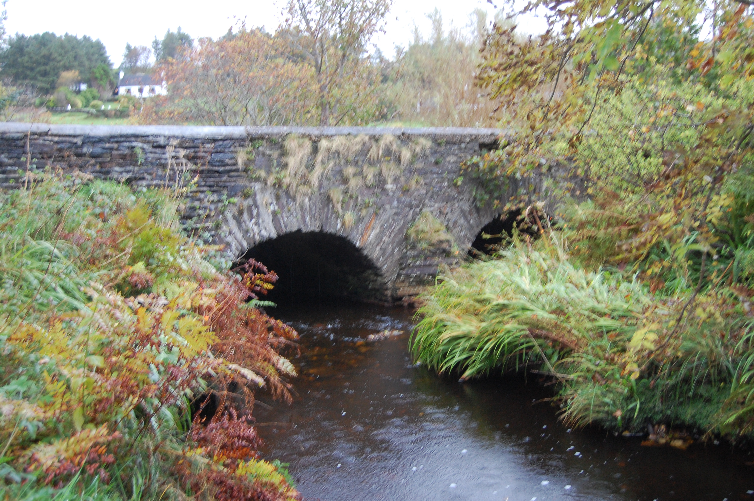 Fawnaboy Bridgebridge · 1.8 mi
 Hachured, DoonFairy fort / ringfort · 2.4 mi
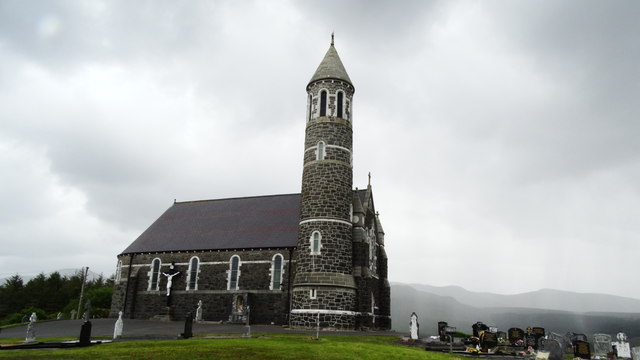 Catholic Church of the Sacred Heartchurch/chapel · 2.8 mi
 Dunlewey CentreHeritage attraction · 3.3 mi
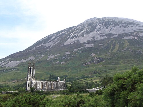 Errigal / An EaragailMountain / peak · 3.3 mi
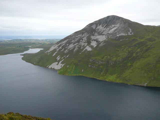 Aghla MoreMountain / peak · 3.5 mi
 Castle Bawne (in Ruins)Bawn · 4.9 mi
 MagheraroartyOfficial bathing water · 5.2 mi
 Maumlack Corrie HeadwallCliff · 5.5 mi
 Monterey CypressMonterey Cypress · 5.8 mi
 Wych ElmWych Elm · 5.9 mi