What is recorded here
In upland heath, on a SE-facing slope of Sheegouna, on the eastern side of Slievenamon Mountain. Monument identified during field survey. A rectangular structure (overall dims. 2.8m N-S; 2.5m E-W; internal dims. 2.25m E-W; 1.1m N-S tapering to 0.6m towards the rear) which opens out to the E. The side walls are constructed of a combination of orthostats (H 0.77-1.1m) and rubble stone wall (T 0.8m) and are leaning into the interior. There is one lintel (dims. L 0.92m; T c. 0.4m) towards the rear supported on two orthostats and another collapsed stone (L 0.75m; T 0.36m) at the rear which appears to have been another lintel. The entrance is defined on either side by orthostats. A wall (int. H 0.9m; ext. H 0.6m) runs from the entrance northwards, revetting the hillslope. Cairn (TS071-021----) on Sheegouna is c. 112m to NE. The passage tombs at Knockroe (KK034-019001-) and Baunfree (KK034-031----), Co. Kilkenny are located 10km to the E and 13KM to ENE respectively. A small triangular-shaped stone (H 0.35m; T 0.42m) is located 18m to the WSW and is similar to the triangular-shaped stone associated with the nearby cairn (TS071-021----).
Compiled by: Jean Farrelly
Date of revised upload: 30 September 2014
Neolithic rectangular megalithic tomb, dating to the 4th–3rd millennium BCE. Its location on a prominent upland slope suggests ritual or ceremonial significance, typical of Neolithic funerary monuments in the region.
The monument record does not grant public access. Check the route and ask the landowner before entering private land.
- What survives
- Recorded monument
Places near here
 SheegounaMountain / peak · 8 yd
 SlievenamonMountain / peak · 1180 yd
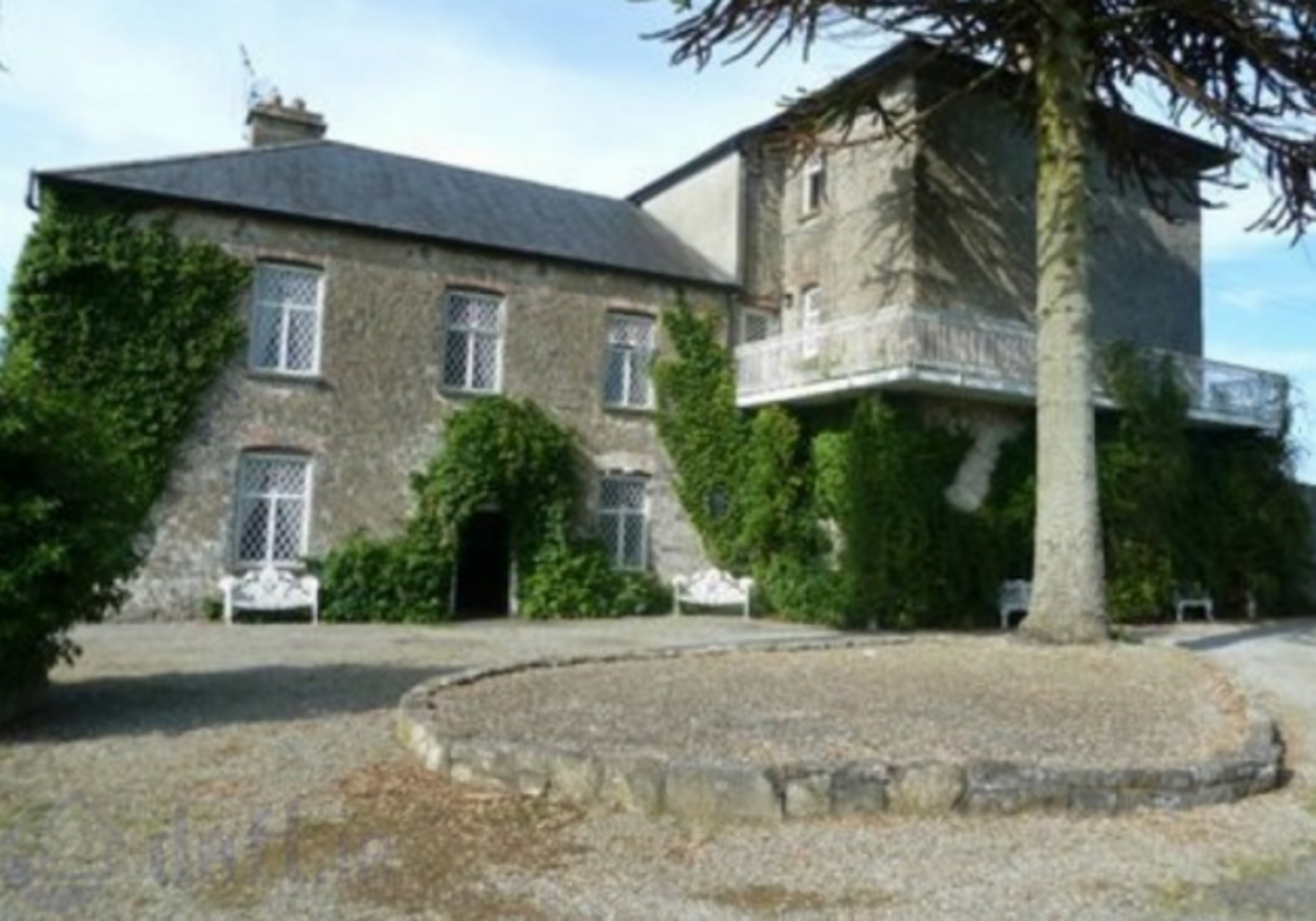 Enclosure in KnockrathkellyEnclosure · 2.0 mi
 Saint John's Catholic Churchchurch/chapel · 2.2 mi
 Font (present location) in Toor (kilcash Par.)Font (present location) · 2.2 mi
 Carrigaloe RockNamed rock · 2.3 mi
 Ballyknockane Lodgehunting/fishing lodge · 2.4 mi
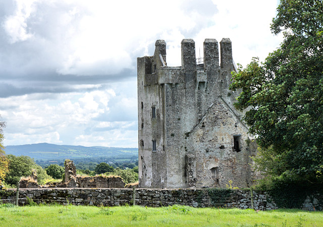 Bawn in KilcashBawn · 2.9 mi
 Kilcash Castle (in ruins)Castle, tower house · 2.9 mi
 Kilcash WoodForest · 2.9 mi
 European ashEuropean ash · 3.3 mi
 The SpoutMemorial · 3.9 mi