What is recorded here
Megalithic tomb in Ballycraig Lower, County Antrim: ancient stones, prehistoric dead, human hands. Whether chamber, alignment or loss, the ground keeps its shape. People may have gathered there before writing, before kings, before the town had a name. The stones do not need belief to be strange. They need only to remain.
The official Northern Ireland record identifies this as MEGALITHIC TOMB. Recorded period: PREHISTORIC. The official map point was placed at the centre of the recorded archaeological site from the source map reference.
Megalithic tomb; likely Neolithic in date. Its significance lies in its contribution to understanding early prehistoric burial practices in the region.
The monument record does not grant public access. Check the route and ask the landowner before entering private land.
- What survives
- Recorded monument
Places near here
 East StrandBeach / strand · 942 yd
 White RocksVisitor information · 1131 yd
 A.P. SITEA.P. SITE, possible enclosure · 1310 yd
 CHURCH & GRAVEYARD: BALLYWILLIN in GlebeCHURCH & GRAVEYARD: BALLYWILLIN · 1586 yd
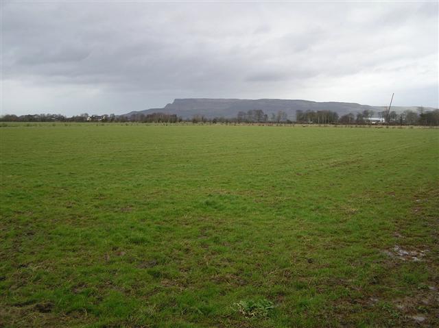 ENCLOSURE in GlebeENCLOSURE · 1621 yd
 CASTLE (unlocated; O.S. memoir site) CASTLE AN TEENIE in PortrushCASTLE (unlocated; O.S. memoir site) CASTLE AN TEENIE · 1.0 mi
 Craig Vara HouseHouse · 1.1 mi
 Former Post OfficeLibrary · 1.1 mi
 C18TH HOUSE on site of C17TH CASTLE in BallymagarryC18TH HOUSE on site of C17TH CASTLE · 1.1 mi
 West StrandBeach / strand · 1.3 mi
 Large SkerriesIslet · 1.7 mi
 Little SkerriesIslet · 1.7 mi