What is recorded here
Columbkille Lough still holds the west shore stones that Kinahan recorded in the nineteenth century, though no one has marked the tomb since. Those large stones may have been a chamber, a cairn base or a broken alignment, and the water has erased the shape that would have answered. Aghanursan and Glenkeen keep the last known address of a structure that stopped being visible before it stopped being remembered.
On the W side of Columbkille Lough 'are some large stones that appear to be the remains of a megalithic structure' (Kinahan 1879-88b). On the basis of this information it would have been situated in the townland named in the heading or in the adjoining one, Glenkeen. This feature has not been identified, and its nature remains uncertain.
Kinahan 1879-88b, 475.
The above description was published in the 'Survey of the Megalithic Tombs of Ireland. Volume VI, County Donegal.' Compiled by: Eamon Cody (Dublin: Stationery Office, 2002).
Date of upload: 22 September 2008
Megalithic tomb, likely Neolithic in date. Its significance lies in contributing to the understanding of early megalithic traditions in the region, though specific details remain poorly documented.
The monument record does not grant public access. Check the route and ask the landowner before entering private land.
- What survives
- Recorded monument
Places near here
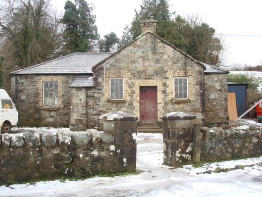 schoolschool · 940 yd
 Claggan Half-Fosse Fairy FortFairy fort / earthen ringfort · 943 yd
 graveyard/cemeterygraveyard/cemetery · 1061 yd
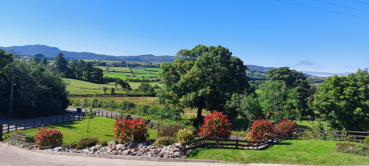 Claggan Stone RingfortFairy fort / stone ringfort · 1392 yd
 Rough IslandIslet · 2.3 mi
 WoodquarterForest recreation place · 2.4 mi
 Cranberry IslandIslet · 3.2 mi
 Drummonaghan WoodForest recreation place · 3.7 mi
 Bawn in RathmeltonBawn · 3.8 mi
 Tullyaughnish Old Church GraveyardGraveyard · 3.9 mi
 Croaghan HillMountain / peak · 4.0 mi
 Loughsalt MountainMountain / peak · 4.4 mi