What is recorded here
Not included in the SMR (1989) but listed in the RMP (1995) and classified as 'Megalithic structure, possible' based on a field report from 1993 (SMR (1989) file). The report described a low oval mound (diam. 7.1m x 6.3m; H 0.5m) with four possible kerbstones on the S, W and N sides. The remains of a possible gallery (L 4.2m; Wth 0.7m), aligned roughly E-W, and consisted of four low stones on the N side and four on the S side, was noted within the mound. There is no monument at the location indicated on the RMP (1995) map. The exact location of this monument is unknown.
Compiled by: Paul Walsh
Date of upload: 18 August 2011
The monument record does not grant public access. Check the route and ask the landowner before entering private land.
- What survives
- Recorded monument
Places near here
 Sweat Ho. (Disused)Sweathouse · 924 yd
 ToberelbaHoly well · 1066 yd
 Tobar Ailbhe Holy WellMemorial · 1078 yd
 Dismantled Mine TramwayRuins · 1.2 mi
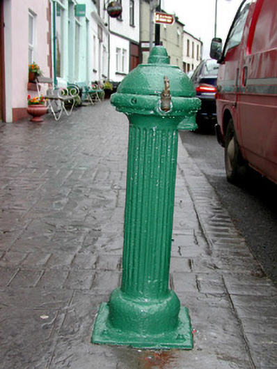 water pumpwater pump · 1.2 mi
 Josie McDermott MemorialMemorial · 1.2 mi
 Black WoodForest · 1.5 mi
 Roundhouse Hill WoodForest · 1.6 mi
 Green IslandIslet · 2.2 mi
 Stony IslandIslet · 2.4 mi
 Kilronan MountainMountain / peak · 2.4 mi
 Seltannasaggart SE SlopeMountain / peak · 3.2 mi