What is recorded here
Kiltanon holds four stones in a broken east-west line, buried beneath hawthorns and pasture. They may be a collapsed dolmen or merely a natural rock outcrop dressed by time. The boundary between human making and earthkeeping has worn thin at this spot. What is clear is that the stones still stand, still aligned, still waiting to be read.
In gently undulating pasture, with reasonable views of the surrounding landscape but overlooked by higher ground to E. A former millrace is located c. 56m to NW. Listed in the RMP (1996) as 'Megalithic Structure' and not depicted on any OS historic mapping. According to Westropp (1902-04, 111), ‘The remains are greatly defaced, and are not marked on the maps. Four stones stand in line, side by side, lying east and west on a low mound, among hawthorns, to the south-east of the outer bridge on the front Avenue [of Kiltannon house]; it is probably the remains of a small dolmen. The blocks measure 4 feet by 30 inches to 24 inches by 7 inches; the second and third are each 4 feet 4 inches wide; other dimensions similar. Another similar slab lies to the west on the slope of the mound, which is 18 feet long’. A conspicuous mound (diam. 4.5m; H 0.7m) at this location appears to be of sod-covered stone and rock outcrop. This equates well with Westropp's description but it is not possible to say if this is a natural outcrop of rock or if it is a collapsed megalithic structure.
The following image has been uploaded:
CL027-026----_01.jpg General view of mound from E.
Compiled by: Mary Tunney, Alison McQueen and Vera Rahilly
Date of upload: 10 December 2018
The monument record does not grant public access. Check the route and ask the landowner before entering private land.
- What survives
- Recorded monument
Places near here
 LisnagleraghFairy fort / earthen ringfort · 444 yd
 Enclosure in AffickEnclosure · 497 yd
 Tyredagh Castle (in ruins)Castle, tower house · 1071 yd
 Milltown Castle (in ruins)Castle, tower house · 1141 yd
 Scoil Náisiúnta Macaireschool · 1.5 mi
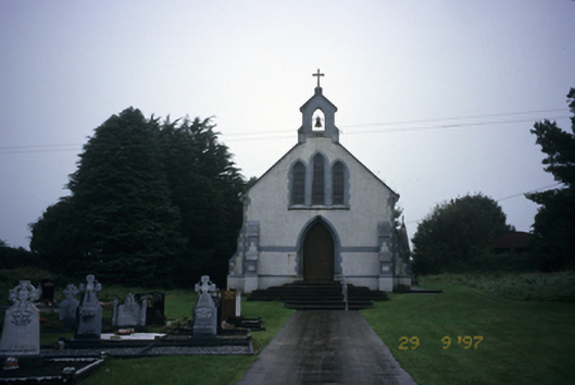 Saint Stephen's Catholic Churchchurch/chapel · 1.5 mi
 The StablesGallery · 1.6 mi
 Derrymore WoodWood · 3.5 mi
 Cloghleagh RockNamed rock · 3.6 mi
 Kilcatherine GraveyardWood · 4.8 mi
 The RingfortHeritage attraction · 4.9 mi
 Mulkere MemorialMemorial · 5.9 mi