What is recorded here
At the bottom of a gentle W-facing slope on the floor of Glenade valley and preserved in a small area of scrub in a pasture field. A line (L 4m) of four contiguous stones (dims 0.6m x 0.2m; H 0.4m to 1.1m x 0.2m; H 0.8m) is aligned NE-SW, but one stone (dims 1.4m x 0.4m; H 0.8m) is aligned NW-SE.
The above description is derived from 'The Archaeological Inventory of County Leitrim' compiled by Michael J. Moore (Dublin: Stationery Office, 2003). In certain instances the entries have been revised and updated in the light of recent research.
Date of upload: 23 September 2008
The monument record does not grant public access. Check the route and ask the landowner before entering private land.
- What survives
- Recorded monument
Places near here
 Sweat HouseSweathouse · 127 yd
 IndicatedEnclosure · 1008 yd
 Church in Drummans (rosclogher By., Aghanlish Ed)Church · 1139 yd
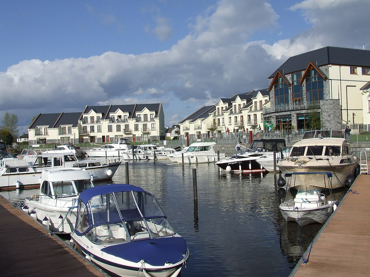 AghalateeveMountain / peak · 1.6 mi
 TievebaunMountain / peak · 1.9 mi
 Eagle's RockMountain / peak · 2.0 mi
 Cormac Reagh's HoleCave · 2.5 mi
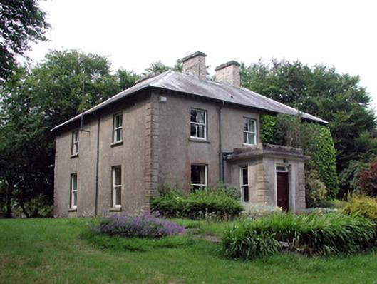 The Old Rectoryrectory/glebe/vicarage/curate's house · 3.1 mi
 Gleniff Horseshoe Drive 2Viewpoint · 3.8 mi
 Doneen WestCliff · 3.9 mi
 Gleniff Horseshoe DriveViewpoint · 3.9 mi
 Memorial Francis FinnMemorial · 3.9 mi