What is recorded here
Situated on a W-facing slope of a shelf at the head of an ESE-WNW valley. Fragments of unburnt human bone from what was described as a recently destroyed megalithic tomb were acquired by NMI in 1961 (Lucas 1963a, 124). The tomb had been situated in rock outcrop and was described as two parallel stones with a third on top. One of the stones (dims 1.5m x 0.6m; T 0.25m) survived. The human remains were at a depth of 1.2m and lay on a flat stone in three discrete accumulations. No remains of the structure are now visible, but the location is known locally. (Sikora and Cahill 2011, vol. 2, P 511, 7.182)
Compiled by: Michael Moore
Date of upload: 20 March, 2012
The monument record does not grant public access. Check the route and ask the landowner before entering private land.
- What survives
- Recorded monument
Places near here
 CastleCastle, unclassified · 685 yd
 Embanked enclosureEnclosure, large enclosure · 1011 yd
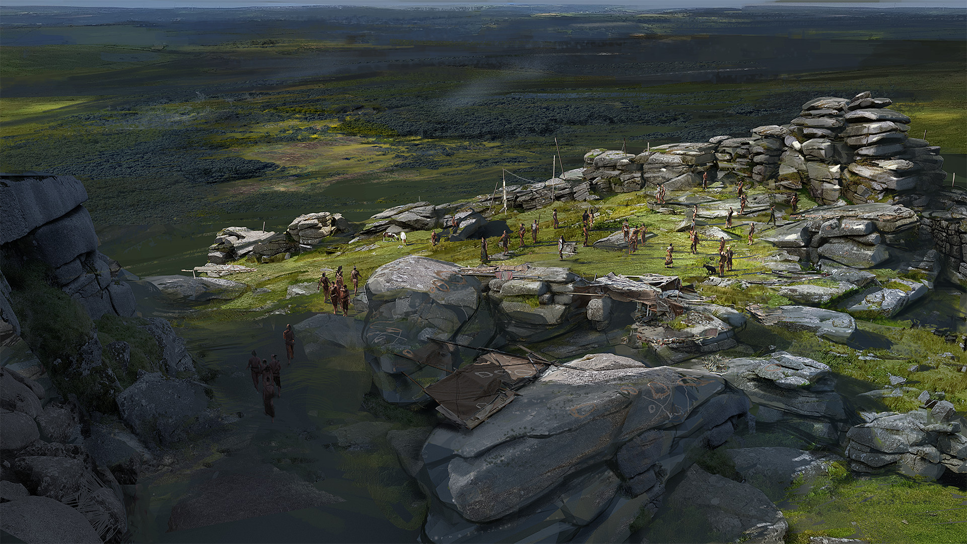 Hilltop enclosure in KilleenadeemaHilltop enclosure · 1184 yd
 Church in SkrineChurch · 1473 yd
 Loobinroe Windmillmill (wind) · 2.2 mi
 TogherfinnForest · 2.4 mi
 European Crab AppleEuropean Crab Apple · 2.5 mi
 Castle (Site of)Castle, unclassified · 3.2 mi
 Hangman's HillMountain / peak · 3.8 mi
 Inchnaveague IslandIslet · 3.9 mi
 InchmoreIslet · 4.1 mi
 Galey BayBay · 5.1 mi