What is recorded here
A site briefly described by Richardson c. 1739 has been identified by Paterson, Gaffikin and Davies (1938). Today a scatter of largely prostrate slabs lie alongside the wall of a ruined building. Two at NW are said to have stood opposite each other until 1991. A little to the SE a stone protruding from the wall of the building may be a set stone. Alongside this is a slab, 2m in maximum dimension, now overlying another, said to have been supported by four low stones. Further slabs lie prostrate to the SE. This would seem to have been some form of a megalithic monument but its nature is not now clear. (Paterson, Gaffikin and Davies 1938, 143)
The above description is derived from the published 'Archaeological Inventory of County Cavan' (Dublin: Stationery Office, 1995). In certain instances the entries have been revised and updated in the light of recent research.
Date of upload/revision: 22 December 2008
The monument record does not grant public access. Check the route and ask the landowner before entering private land.
- What survives
- Recorded monument
Places near here
 IndicatedHoly well · 531 yd
 Shannow ForestForest · 1294 yd
 Ardvarny ForestForest · 1321 yd
 Carricknagore RockNamed rock · 1536 yd
 Enclosure in Drumcrow (denn Ed)Enclosure · 1.2 mi
 Church in Cashel (clanmahon By.)Church · 1.3 mi
 Ardkill MoreMountain / peak · 1.8 mi
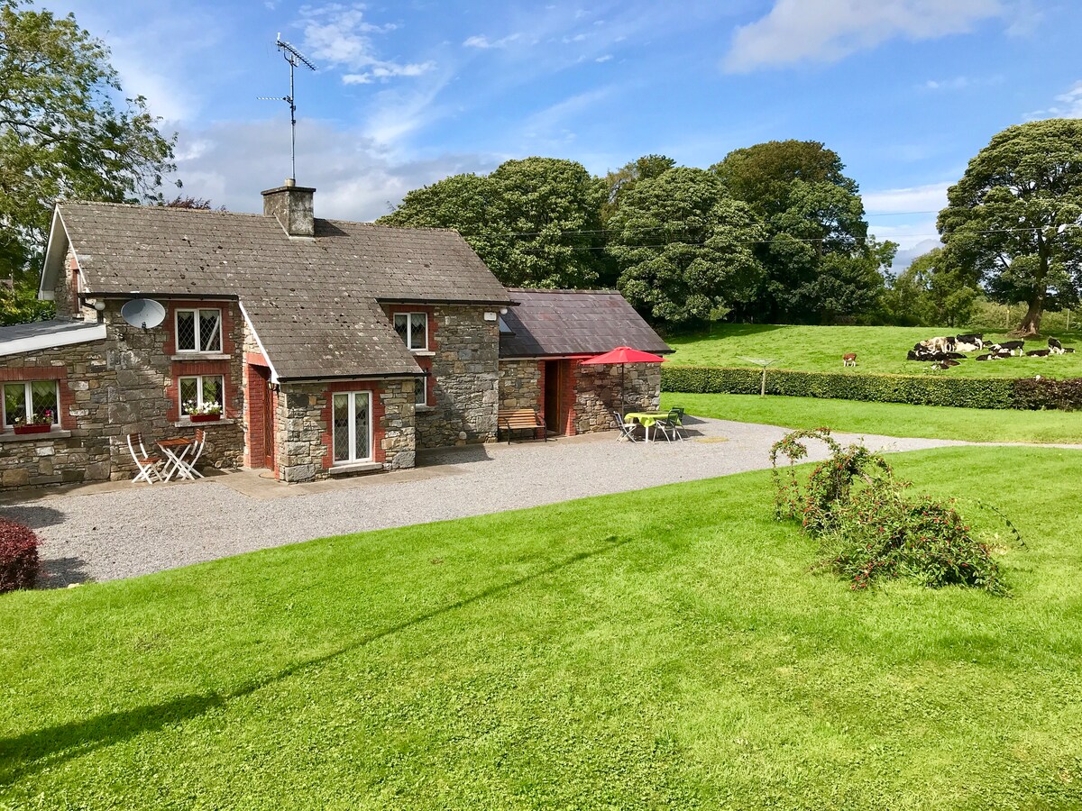 Dennmore or LeggandennMountain / peak · 1.8 mi
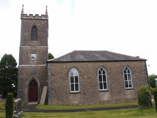 Denn Churchchurch/chapel · 1.8 mi
 Bawn in MoynehallBawn · 1.9 mi
 Castle CosbyCastle, unclassified · 2.8 mi
 Giant's GraveArchaeological place · 2.8 mi