
What is recorded here
This feature was listed in the SMR as a possible megalithic tomb (1988, WA016-018---). It stands on the NW side of a low hill in the N part of the townland and lies just N of an exposed section of outcropping rock. It consists of a small chamber (int. dims. 1.6m E-W; 0.35m N-S; H 0.75m), opening to the E, formed, in part, of upright slabs of outcropping rock which have split along the bedding planes. It is roofed by two slabs (dims. 1.5m x 0.9m; T 0.15m: 1.1m, x 0.5m) which are supported on the S side by small stones packed with mortar. An external upright stone (L 2m; H 0.45-0.9m) at S is part of the bedrock. The structure is not a megalithic tomb and, indeed, may not be ancient.
Compiled by: Michael Moore, Paul Walsh
Date of upload: 23 April 2013
The monument record does not grant public access. Check the route and ask the landowner before entering private land.
- What survives
- Recorded monument
Places near here
 Enclosure in CarrickanureEnclosure · 340 yd
 Church in Kilmoyemoge EastChurch · 693 yd
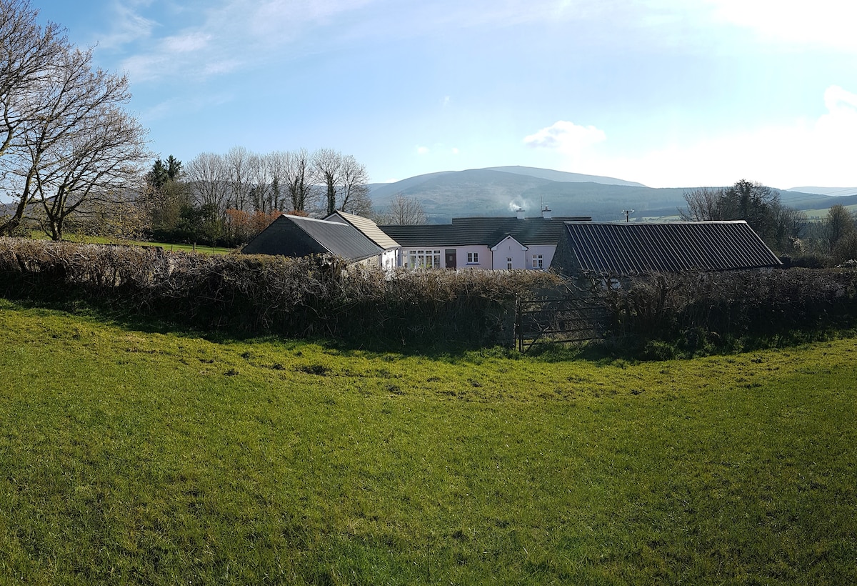 Enclosure in Kilmoyemoge EastEnclosure · 789 yd
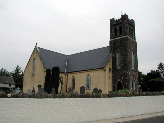 Saint Nicholas's Catholic ChurchOfficially recorded historic building · 1746 yd
 Site of CastleCastle, unclassified · 1.2 mi
 Waterford & Suir Valley RailwayHeritage attraction · 2.1 mi
 Glenhouse WoodForest · 2.3 mi
 CastleCastle, unclassified · 2.7 mi
 Sargent's magnoliaSargent's magnolia · 2.8 mi
 Donnell's HillMountain / peak · 3.0 mi
 Mount Congreve GardensHeritage attraction · 3.3 mi
 St. Martin's WellSpring · 4.4 mi
Other information
Photo: Credit not shown in the picture search · Rights wording not checked; contact us if this picture should be removed