What is recorded here
This monument was excavated (license no. 95E021) in 1996 under the direction of G. Burenhult (1996, 33; SMR file) who records that the ‘monument is partly destroyed, and has been included in the possibly later constructed field-wall system. It has a rectangular shape, built of limestone slabs and boulders, and measures about 10 by 3 meters. In the part excavated, the remains of a limestone flooring was found. No remains of interred human bones were found. Five samples of charcoal for radiocarbon dating were collected. None have as yet been dated. Rich quantities of oyster-shells were found.
Compiled by: Paul Walsh
Date of upload: 10 October 2013
The monument record does not grant public access. Check the route and ask the landowner before entering private land.
- What survives
- Recorded monument
Places near here
 Church (in Ruins)Church · 388 yd
 Enclosure in Grange EastEnclosure · 434 yd
 Enclosure in SeafieldEnclosure · 496 yd
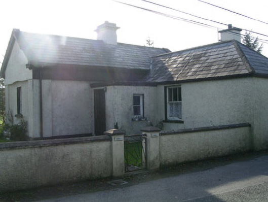 Lisheengate lodge · 588 yd
 Castle (in Ruins)Castle, unclassified · 809 yd
 The GlenWood · 986 yd
 CarrigeenfaddaIslet · 1.0 mi
 Knocknarea trailWalking route · 1.0 mi
 KnocknareaMountain / peak · 1.3 mi
 Carrowmore Visitors CentreVisitor information · 1.6 mi
 Carrowmore Megalithic CemeteryHeritage attraction · 1.7 mi
 Derinch PointHeadland · 2.0 mi