
What is recorded here
From OpenStreetMap (© OpenStreetMap contributors) n3793449290
Places near here
Photo credits
- Bart Whelan, Wikimedia Commons · CC BY-SA 2.0
- National Inventory of Architectural Heritage
- Maker not stated on source page, www.abc.net.au
- Maker not stated on source page, padeye.news
- Maker not stated on source page, www.pinterest.com
- Maker not stated on source page, uk.pinterest.com
- Maker not stated on source page, www.flickr.com
- Maker not stated on source page, www.dreamstime.com
- Mhdelaney, Wikimedia Commons · CC BY-SA 4.0
- Joseph Mischyshyn, Geograph · CC BY-SA 2.0
- Mac McCarron, Geograph · CC BY-SA 2.0
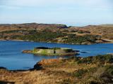 Doon FortFairy fort / stone ringfort · 1327 yd
Explorer Tom Doon Fort is claiming its best mate is actually a very confused dolphin who gets lost in Doon Lough every summer. It’s…
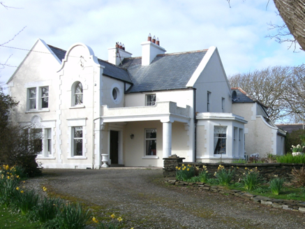 Kiltoorish HallHouse · 1339 yd
Explorer Tom Kiltoorish Hall keeps a close eye on O'Boyle's Island from its hilltop perch. I wonder if Mr. O'Boyle ever tried to…
 Burial ground in MullyveaBurial ground · 1426 yd
Explorer Tom Burial ground in Mullyvea is officially just 'Corpse Field' on old maps, but right now it’s mostly fair pasture with a…
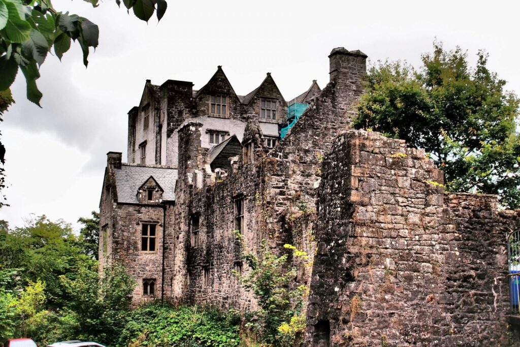 Castle in ruinsCastle, unclassified · 1540 yd
Explorer Tom Bishop O'Boyle lived at the castle at Kiltooris in 1601. An 1847 account says two of its three cannon were lost while…
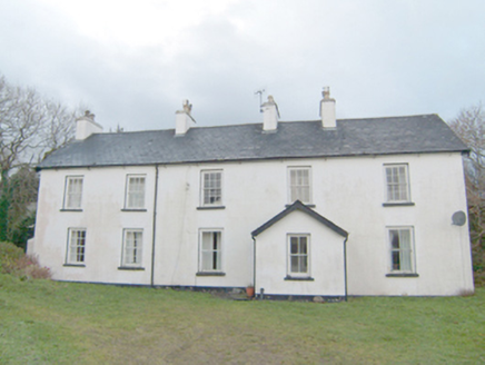 Swan MountHouse · 1577 yd
Explorer Tom Swan Mount sits right on top of an old village from 1837! I bet the house is still listening to the ghosts of the…
 Holy well in KiltoorisHoly well · 1.0 mi
Explorer Tom The Holy well in Kiltooris is a roughly circular dry-stone structure on a slope overlooking the lough. The nearby…
 Kiltooris Old GraveyardGraveyard · 1.0 mi
Explorer Tom Kiltooris Old Graveyard is tucked under a dense growth of briars, making it impossible to inspect closely. That feels…
 Kiltooris Church GraveyardGraveyard · 1.1 mi
Explorer Tom Kiltooris Church Graveyard surrounds a chapel with a practical role: in 1622, an account said parish services should be…
 Eire 73 signSecond World War neutrality sign · 1.2 mi
Explorer Tom Eire 73 sign in County Donegal has a bird that refuses to leave its roof because it likes the view of the sea and…
 Narin–Portnoo StrandOfficial bathing water · 1.6 mi
Explorer Tom Narin–Portnoo Strand is so bright on a clear day that I suspect Donegal polishes it before visitors arrive. White sand…
 Tramore StrandBeach / strand · 1.7 mi
Explorer Tom Donegal owns enough places called Tramore to keep an explorer on his toes, so let us begin at the right one: the long…
 InishkeelIslet · 1.7 mi
Explorer Tom Inishkeel has old churches and carved cross slabs, which sounds like a fine island hunt to me. Then Heritage Ireland…
More mountains and hills in County Donegal · All of County Donegal

What do you know about this place?Tap to add a comment or ask a question