
What is recorded here
No visible church remains in Ballyrolly, but the lost site still belongs to the medieval and post-medieval world. It may have stood as a modest worship place, marked only by soil, memory and the shape of daily life. People may have gathered there for prayer, feast, burial or ordinary conversation before the building disappeared. The absence does not erase the purpose; it preserves the mystery.
The official Northern Ireland record identifies this as MEDIEVAL & POST-MEDIEVAL CHURCH (site of) (unlocated). Recorded period: MEDIEVAL; LATE-MED. The official map point was placed at the centre of the recorded archaeological site from the source map reference.
The monument record does not grant public access. Check the route and ask the landowner before entering private land.
- What survives
- Recorded monument
Places near here
 ENCLOSURE in BallyrollyENCLOSURE · 552 yd
 Carrowdore CastleCastle · 1040 yd
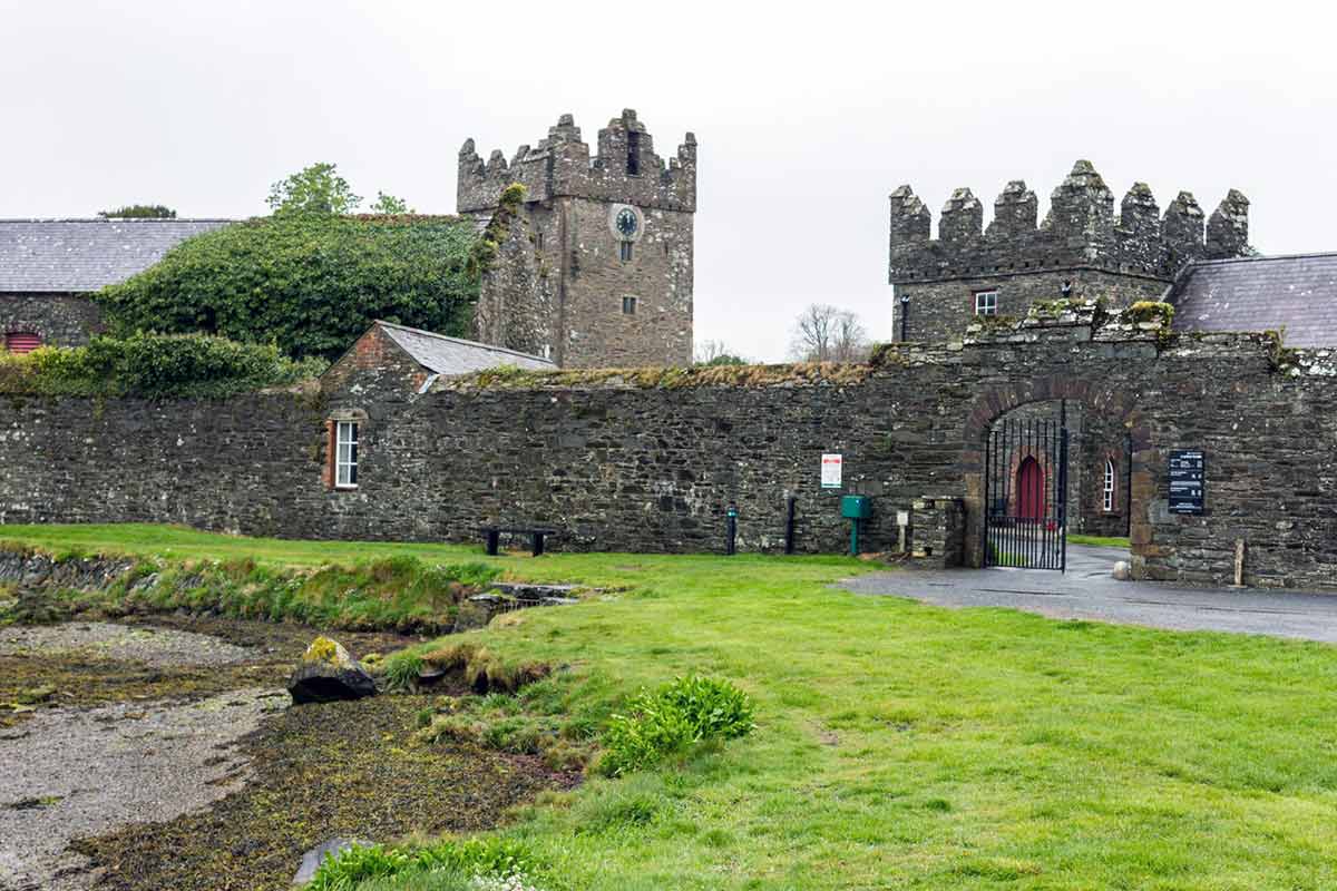 ENCLOSURE in BallyrawerENCLOSURE · 1412 yd
 Millisle and Ballycopeland Presbyterian ChurchChurch · 1.3 mi
 [Former railway] bridgeBridge · 3.0 mi
 MEDIEVAL CHURCH and GRAVEYARD; with 3 C13TH COFFIN LIDS: BALLYWALTER OLD CHURCH; WHITE CHURCH in BallywalterMEDIEVAL CHURCH and GRAVEYARD; with 3 C13TH COFFIN LIDS: BALLYWALTER OLD CHURCH; WHITE CHURCH · 3.2 mi
 Lake Walk, Mount StewartWalking route · 3.4 mi
 Red Trail, Mount StewartWalking route · 3.5 mi
 Mount StewartHeritage attraction · 3.6 mi
 Grey Abbey HouseCastle · 3.8 mi
 Mid IslandIslet · 4.4 mi
 Somme Heritage CentreMuseum · 5.9 mi
Other information
Photo: Credit not shown in the picture search · Rights wording not checked; contact us if this picture should be removed