What is recorded here
Donaci is a medieval and post-medieval church and graveyard in County Antrim, preserved under two names because human memory bent the place rather than inventing it. The graveyard implies generations walked past its boundary, buried their dead there, and left the church standing long enough for the land to remember the shape of worship. Dunaghy may be the name the people used, while Donaci is the name the distance kept.
The official Northern Ireland record identifies this as MEDIEVAL & POST-MED. CHURCH & GRAVEYARD: DUNAGHY or DONACI. Recorded period: MEDIEVAL; POST-MED. The official map point was placed at the centre of the recorded archaeological site from the source map reference.
The monument record does not grant public access. Check the route and ask the landowner before entering private land.
- What survives
- Recorded monument
Places near here
 Clough CastleArchaeological place · 532 yd
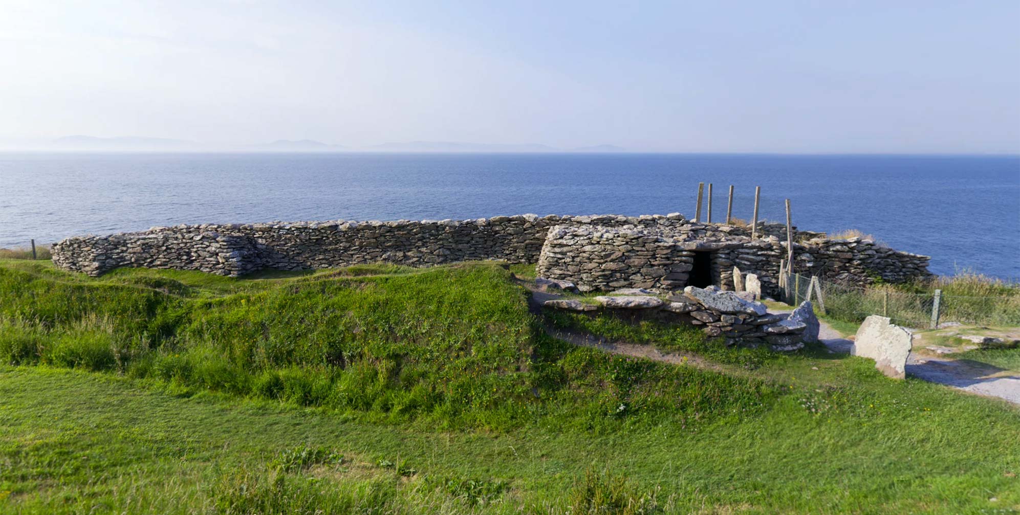 ENCLOSURE: DUNAGHY FORT in BallycregaghENCLOSURE: DUNAGHY FORT · 659 yd
 ENCLOSURE (rath?) & Man-made underground passage in Carn-BegENCLOSURE (rath?) & Man-made underground passage · 1478 yd
 CASTLE & HILLTOP ENCLOSURE: DOONBOUGHT FORT in DoonboughtCASTLE & HILLTOP ENCLOSURE: DOONBOUGHT FORT · 1.2 mi
 Dunminning CottageHouse · 3.4 mi
 CarncormickMountain / peak · 4.7 mi
 SlievenahanaghanMountain / peak · 4.9 mi
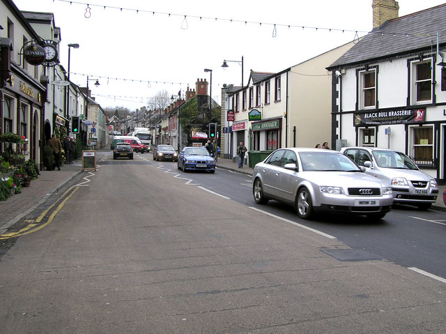 CHURCH: DONNELLY'S CELL (c.f. Ant 032:001) in CraigsCHURCH: DONNELLY'S CELL (c.f. Ant 032:001) · 5.3 mi
 2025 Northern Ireland riotsriot · 6.9 mi
 Glenariff ForestWood · 8.2 mi
 Ess-na-Larach WaterfallWaterfall · 8.4 mi
 Ess-Na-Crub WaterfallWaterfall · 8.5 mi