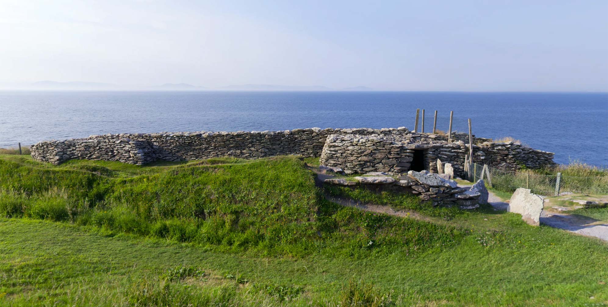
What is recorded here
The official Northern Ireland record identifies this as ENCLOSURE: DUNAGHY FORT. Recorded period: UNCERTAIN. The official map point was placed at the centre of the recorded archaeological site from the source map reference.
Dunaghy Fort in Ballycregagh is a ringfort, a type of early-medieval agricultural and defensive settlement, typically dating between the 5th and 10th centuries AD. Local tradition associates such sites with fairy folklore, and it may have been regarded as a place of supernatural significance in later popular belief.
The monument record does not grant public access. Check the route and ask the landowner before entering private land.
- What survives
- Recorded monument
Places near here
 Clough CastleArchaeological place · 163 yd
 ENCLOSURE (rath?) & Man-made underground passage in Carn-BegENCLOSURE (rath?) & Man-made underground passage · 1.0 mi
 CASTLE & HILLTOP ENCLOSURE: DOONBOUGHT FORT in DoonboughtCASTLE & HILLTOP ENCLOSURE: DOONBOUGHT FORT · 1.3 mi
 ENCLOSURE in BallyreaghENCLOSURE · 1.5 mi
 Dunminning CottageHouse · 3.7 mi
 CarncormickMountain / peak · 4.5 mi
 SlievenahanaghanMountain / peak · 4.6 mi
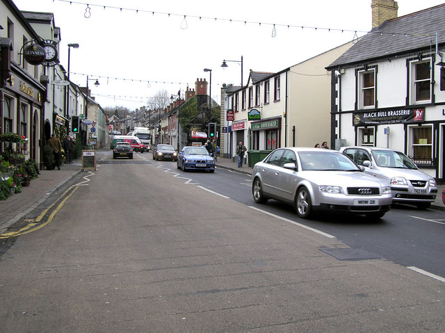 CHURCH: DONNELLY'S CELL (c.f. Ant 032:001) in CraigsCHURCH: DONNELLY'S CELL (c.f. Ant 032:001) · 5.7 mi
 2025 Northern Ireland riotsriot · 7.2 mi
 Glenariff ForestWood · 7.9 mi
 Ess-na-Larach WaterfallWaterfall · 8.0 mi
 Ess-Na-Crub WaterfallWaterfall · 8.2 mi
Other information
Photo: Credit not shown in the picture search · Rights wording not checked; contact us if this picture should be removed