
What is recorded here
Ballymacgehan is a vanished medieval church in Ballymagaughey, County Down. Its exact location has been lost, leaving behind only a map point and a name. The building may have stood for centuries before disappearing without a trace. What remains is the shape of the gap, a hole in the landscape where worship once happened.
The official Northern Ireland record identifies this as MEDIEVAL CHURCH (site of): BALLYMACGEHAN (unlocated). Recorded period: MEDIEVAL. The official map point was placed at the centre of the recorded archaeological site from the source map reference.
The monument record does not grant public access. Check the route and ask the landowner before entering private land.
- What survives
- Recorded monument
Places near here
 AP Cropmark- Possible enclosure in BallywilliamAP Cropmark- Possible enclosure · 194 yd
 ENCLOSURE in BallycreelyENCLOSURE · 555 yd
_-_geograph.org.uk_-_1770599.jpg?width=1280) Andrews Memorial HallSchool · 1.5 mi
Andrews Memorial HallSchool · 1.5 mi First Comber Presbyterian ChurchChurch · 1.7 mi
 FORTIFICATION (site of): MOUNT ALEXANDER CASTLE in Mount AlexanderFORTIFICATION (site of): MOUNT ALEXANDER CASTLE · 2.0 mi
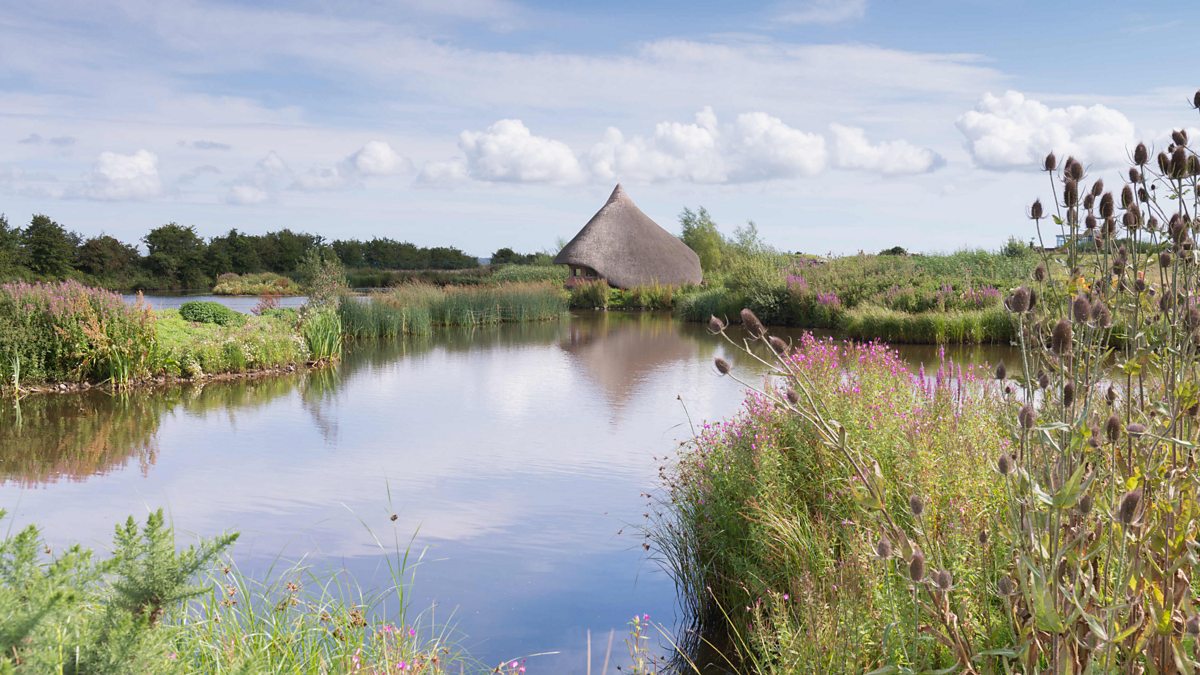 BAWN: CASTLE ESPIE in Castle EspieBAWN: CASTLE ESPIE · 2.8 mi
 Castle Espie Wetland CentreNature reserve · 3.3 mi
 Rough IslandIslet · 3.6 mi
 Comber GreenwayWalking route · 4.0 mi
 Post-Medieval church & graveyard in TullynakillPost-Medieval church & graveyard · 4.1 mi
 Braniel HillMountain / peak · 4.1 mi
 Scrabo HillMountain / peak · 4.2 mi
Other information
Photo: Credit not shown in the picture search · Rights wording not checked; contact us if this picture should be removed