What is recorded here
Balibodan in Ballywoodan marked a medieval church and graveyard, though no building remains visible today. The lost altar may have stood where grass grows thick, while buried bones waited beneath the soil for centuries. People likely gathered there to pray, mourn and remember before the church vanished from human memory.
The official Northern Ireland record identifies this as MEDIEVAL CHURCH & GRAVEYARD (site of): BALIBODAN. Recorded period: MEDIEVAL. The official map point was placed at the centre of the recorded archaeological site from the source map reference.
Medieval church and graveyard; 12th to 16th century. This site represents a period of Christian settlement and burial practice in rural Northern Ireland, though its specific historical or architectural significance remains undocumented.
The monument record does not grant public access. Check the route and ask the landowner before entering private land.
- What survives
- Recorded monument
Places near here
 MEDIEVAL CHURCH (unlocated): ABBOT-GRANGE in BallywoodanMEDIEVAL CHURCH (unlocated): ABBOT-GRANGE · 154 yd
 A.P. SITEA.P. SITE, oval enclosure · 623 yd
 MEDIEVAL CHURCH RENLES in Killard UpperMEDIEVAL CHURCH RENLES · 1367 yd
 Ballyhornan Picnic SitePicnic place · 1.2 mi
 Mullog PointHeadland · 1.3 mi
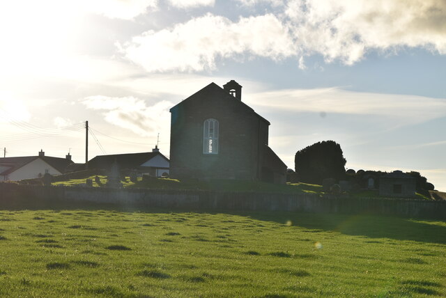 ANGLO-NORMAN COFFIN LIDS (2) (in C. of I. church) & site of MEDIEVAL CHURCH in KilcliefANGLO-NORMAN COFFIN LIDS (2) (in C. of I. church) & site of MEDIEVAL CHURCH · 1.3 mi
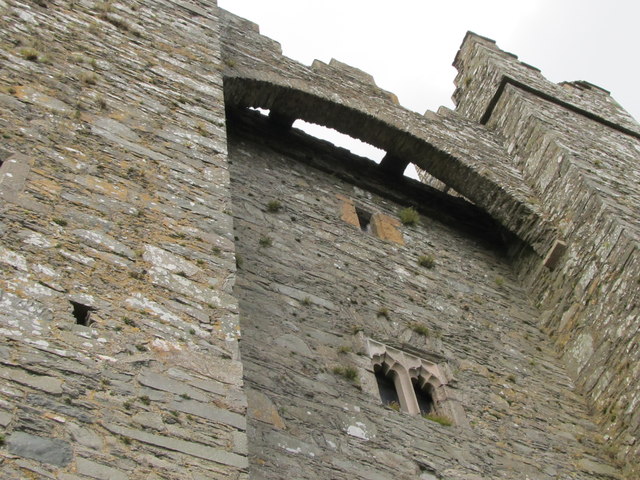 TOWER-HOUSE & C13th COFFIN LID: KILCLIEF CASTLE in KilcliefTOWER-HOUSE & C13th COFFIN LID: KILCLIEF CASTLE · 1.4 mi
 Kilclief CastleCastle · 1.4 mi
 Kilclief BeachBeach / strand · 1.5 mi
 Guns IslandIslet · 1.8 mi
 Strangford Holiday Park Picnic AreaPicnic place · 1.9 mi
 CHURCH & GRAVEYARD: BALLYCULTER, CHRISTCHURCH in Ballyculter UpperCHURCH & GRAVEYARD: BALLYCULTER, CHRISTCHURCH · 2.3 mi