What is recorded here
Killyglen held a medieval church and graveyard before modern roads redrawn the county. Stone walls may have fallen, but the graveyard kept its shape, marking deaths and prayers long before written records arrived. The land still carries that old rhythm, even when no tower remains to point toward it.
The official Northern Ireland record identifies this as MEDIEVAL CHURCH; GRAVEYARD. Recorded period: MEDIEVAL; MED/L.MED. Recorded protection: Scheduled. The official map point was placed at the centre of the recorded archaeological site from the source map reference.
Medieval ecclesiastical site and graveyard; dates to the Middle Ages. Its scheduled protection status indicates archaeological or historical importance, though specific wider significance is not detailed in the record.
The monument record does not grant public access. Check the route and ask the landowner before entering private land.
- What survives
- Recorded monument
Places near here
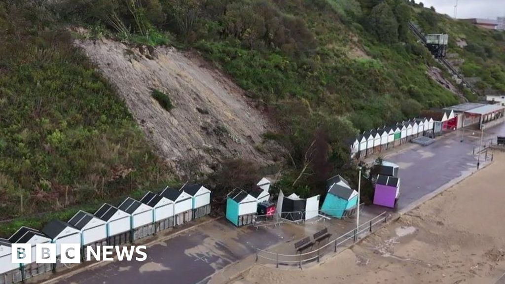 CLIFF-TOP ENCLOSURE; possibly PROMONTORY FORT in BallytoberCLIFF-TOP ENCLOSURE; possibly PROMONTORY FORT · 1.4 mi
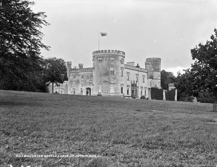 TOWER-HOUSE & BAWN: KILWAUGHTER CASTLE in DemesneTOWER-HOUSE & BAWN: KILWAUGHTER CASTLE · 1.5 mi
 Kilwaughter CastleCastle · 1.5 mi
 TWO ENCLOSURES/ TREE RINGS in DemesneTWO ENCLOSURES/ TREE RINGS · 1.6 mi
 Larne War MemorialMemorial · 2.0 mi
 Ulster BankBank · 2.1 mi
.jpg?width=1280) Town HallTown hall · 2.1 mi
Town HallTown hall · 2.1 mi Garden TrailWalking route · 2.2 mi
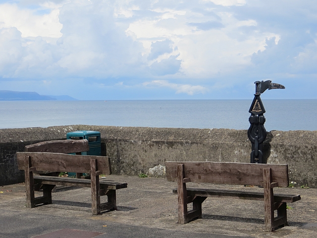 Millennium MilepostVisitor information · 2.6 mi
 Ballygally CastleHeritage attraction · 2.6 mi
 Ballygalley HeadCliff · 2.8 mi
 MV Princess Victoria MemorialMemorial · 3.0 mi