What is recorded here
In rough pasture, at edge of woodland to E. Dry-stone wall (2.4m N-S; 1.7m E-W) encloses well (D 4m) with stone steps leading down to water level. Water source has been tapped. Shown as ‘Mean Uisge’ on OS map (1929). No information recovered on name.
The above description has been derived from D. Lavelle (compiler), An Archaeological Survey of Ballinrobe and District including Lough Mask and Lough Carra. Lough Mask and Lough Carra Tourist Development Association (1994), No. 664.
Date of upload: 7 January 2015
The monument record does not grant public access. Check the route and ask the landowner before entering private land.
- What survives
- Recorded monument
Places near here
 IndicatedFairy fort / stone ringfort · 176 yd
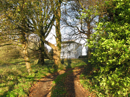 rectory/glebe/vicarage/curate's houserectory/glebe/vicarage/curate's house · 646 yd
 Stone CircleStone circle · 670 yd
 Caherduff CastleCastle · 871 yd
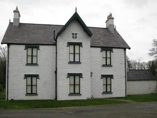 Lackafinna Househunting/fishing lodge · 1475 yd
 Kelly's CaveCave · 1.0 mi
 Easter IslandIslet · 1.4 mi
 Cong AbbeyHeritage attraction · 1.4 mi
 Quiet Man MuseumMuseum · 1.4 mi
 European YewEuropean Yew · 1.5 mi
 TonacashlanCastle, unclassified · 1.5 mi
 Silver FirSilver Fir · 1.7 mi