
What is recorded here
Map note: Meall Righ Mòr, a mountain or peak, is mapped near Ruantallain, Argyll and Bute, Scotland. A hill can keep its own counsel; the surrounding map is ready to explore.
From OpenStreetMap (© OpenStreetMap contributors) n4140623619
Places near here
Photo credits
- Peter Edwards, Wikimedia Commons · CC BY-SA 2.0
- Maker not stated on source page, www.openrent.co.uk
- Maker not stated on source page, www.pinterest.com
- Nick Wilson, Wikimedia Commons · CC BY-SA 2.0
- Andrew Spenceley, Wikimedia Commons · CC BY-SA 2.0
- Gordon Brown, Wikimedia Commons · CC BY-SA 2.0
- Milestone Society, Wikimedia Commons · CC BY-SA 2.0
 Brein PhortBay · 1173 yd
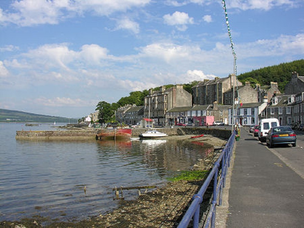 Ceannaiche BeagIslet · 1481 yd
 Ceannaiche MòrMountain / peak · 1586 yd
 Isabella: Goat Island, Mull, AtlanticSmack (19th Century) · 1.3 mi
 Cnoc an LochMountain / peak · 1.5 mi
 Rubh' a' Chrois-aoinidhHeadland · 2.1 mi
 Shian BayBay · 2.5 mi
 Sron BheitheMountain / peak · 2.6 mi
 Sailean a' Gharbh-UisgeBay · 2.8 mi
 Eilean ArdIsland · 2.9 mi
 Jura, Cruib LodgeDeer Larder (19th Century), Lodge (19th Century) · 3.2 mi
 Jura, AchamoreHead Dyke (post Medieval), Township (post Medieval) · 6.2 mi
More mountains and hills in Argyll and Bute · All of Argyll and Bute

What do you know about this place?Tap to add a comment or ask a question