What is recorded here
This wedge tomb is shown on the 1838 OS 6-inch map as a circular enclosure (diam. c. 20m) named 'McMahon's Monument', and is indicated on the 1929 edition as 'Dolmen'. It was destroyed during land reclamation works in the early 1950's.
See linked document with details from Ruaidhrí de Valera and Seán Ó Nualláin, Survey of the Megalithic Tombs of Ireland. Volume II. County Mayo. (Dublin: Stationery Office, 1964)
Date of upload: 6 January 2012
Wedge tomb, dating to the Late Neolithic or Early Bronze Age (c. 2500–1000 BC). Its original circular enclosure and later identification as a dolmen suggest a complex funerary or ceremonial function, though its destruction limits further understanding.
This remains an important historical record, but the official description says the monument is no longer visible or has been destroyed. The monument record does not grant public access. Check the route and ask the landowner before entering private land.
- What survives
- No visible remains or recorded as destroyed
Places near here
 IndicatedEnclosure · 1318 yd
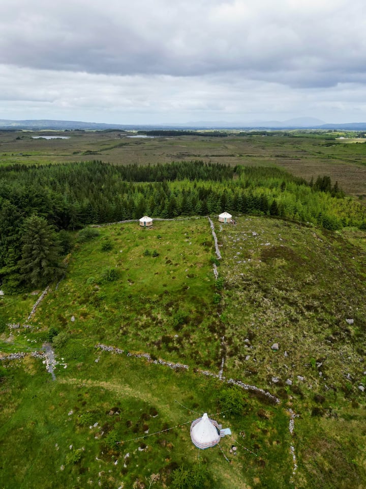 Enclosure in KilvineEnclosure · 1434 yd
 Church in ruinsChurch · 1.5 mi
 Church in Pollanalty WestChurch · 1.7 mi
 CastleCastle, unclassified · 1.9 mi
 Dunmore CastleCastle · 4.7 mi
 Slieve DartMountain / peak · 5.0 mi
 European ashEuropean ash · 9.8 mi
 Mass RockNamed rock · 11 mi
 European YewEuropean Yew · 12 mi
 ListeigeArchaeological place · 1.2 mi
 Enclosure in Knockadoon (clanmorris By.)Enclosure · 1.4 mi