
What is recorded here
Maybole, Culzean Road, General is an ancient site in South Ayrshire, Scotland.
Places near here
Photo credits
- Maker not stated on source page, commons.wikimedia.org
- Alan McFarlane, Wikimedia Commons · CC BY-SA 2.0
- Billy McCrorie, Wikimedia Commons · CC BY-SA 2.0
- Becky Williamson, Wikimedia Commons · CC BY-SA 2.0
- Mary and Angus Hogg, Wikimedia Commons · CC BY-SA 2.0
- Maker not stated on source page, ayrshireandarran.com
- Humphrey Bolton, Wikimedia Commons · CC BY-SA 2.0
- Maker not stated on source page, www.dreamstime.com
 Maybole, 33 Castle StreetHouse (late 18th Century) · 21 yd
 Maybole, Culzean Road, the Carrick CentreChurch (21st Century), Community Centre (21st Century) · 64 yd
 Maybole, Cargill Road, St Oswald's Episcopal ChurchChurch (19th Century) · 111 yd
 Maybole, Cargill Court, Cargill StoneCommemorative Monument (19th Century), Covenanters Stone (17th Century), Plaque (19th Century) · 137 yd
 Maybole CastleCastle · 142 yd
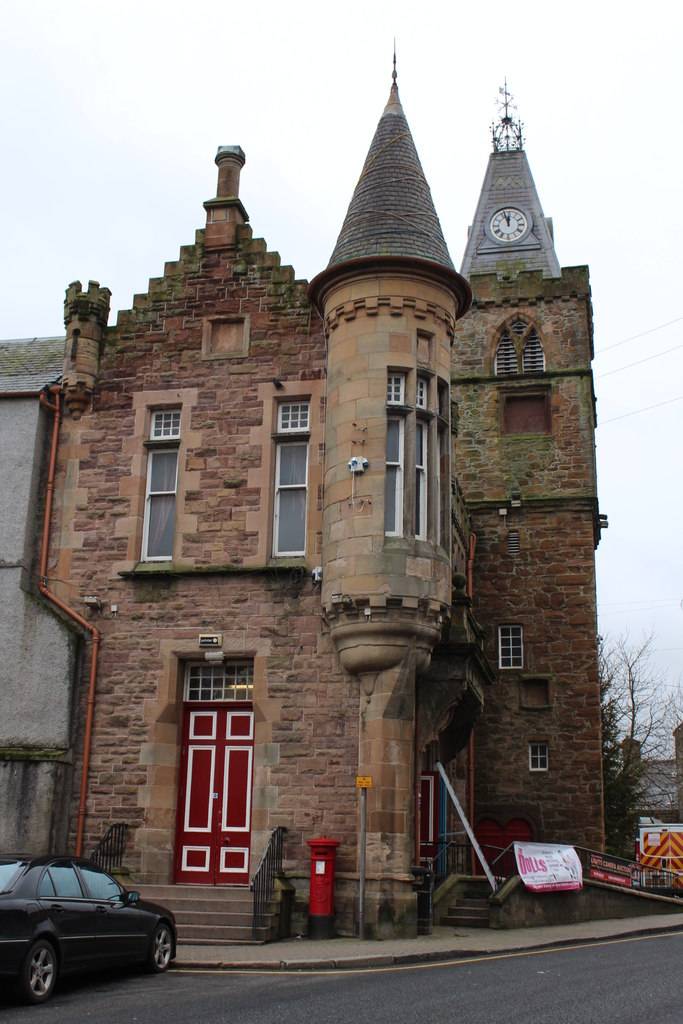 Maybole, 2, 4 High Street, the CastleEstate Office, Tower House (17th Century) · 145 yd
 Maybole, School VennelNo Class (event) · 194 yd
 Maybole, Carnegie LibraryLibrary (20th Century) · 229 yd
 Glebe ParkPark · 533 yd
 Maybole, Maybole CemeteryCemetery (19th Century) · 687 yd
 Mapped cemeteryCemetery · 708 yd
 MayboleNo Class (event) · 1135 yd
More archaeology and monuments in South Ayrshire · All of South Ayrshire

What do you know about this place?Tap to add a comment or ask a question