What is recorded here
According to local information, a mass-rock was formerly located in this field c. 95m to the WNW (see GA042-203---- for its original location). It consisted of a piece of undressed sandstone (H 0.9m; Wth 0.5m) which was inscribed with a cross. It was surrounded by bushes and stones. On inspection in April 1984 no visible surface trace survived. The field was bulldozed in the 1970s during land-clearance works. The resulting spoil was packed against the field boundary to the SE. It is possible that the mass-rock may have been in this spoil but a search of it failed to locate it.
According to local information, a mass-rock was formerly located in this field c. 95m to the WNW (see GA042-203---- for its original location). It consisted of a piece of undressed sandstone (H 0.9m; Wth 0.5m) which was inscribed with a cross. It was surrounded by bushes and stones. On inspection in April 1984 no visible surface trace survived. The field was bulldozed in the 1970s during land-clearance works. The…
From the National Monuments Service (Archaeological Survey of Ireland) record GA042-230
The monument record does not grant public access. Check the route and ask the landowner before entering private land.
- What survives
- Recorded monument
Places near here
Photo credits
- Mac McCarron, Geograph · Creative Commons Attribution-ShareAlike 2.0
- National Inventory of Architectural Heritage
- Nigel Thompson, Geograph · Creative Commons Attribution-ShareAlike 2.0
- Mike Searle, Geograph · CC BY-SA 2.0
- Enda O Flaherty, Geograph · CC BY-SA 2.0
- Wanfried-Dublin, Wikimedia Commons · CC BY-SA 3.0
- Mike Searle, Wikimedia Commons · CC BY-SA 2.0
- The original uploader was Dppowell at English Wikipedia ., Wikimedia Commons · CC BY-SA 2.5
- Willow, Wikimedia Commons · CC BY 2.5
 Grave YardGraveyard · 1030 yd
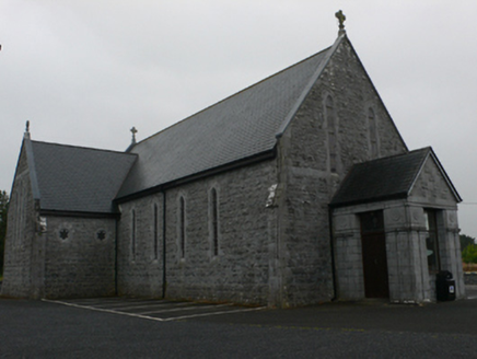 Catholic Church of Mary Immaculate and Saint JosephChurch/chapel · 1673 yd
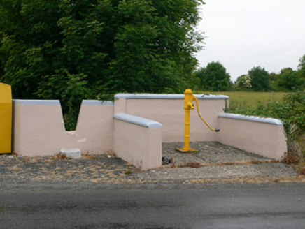 water pump1690 yd
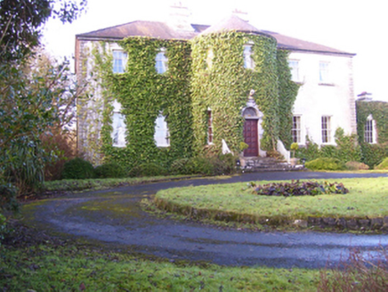 Lisdonagh HouseHouse · 1.3 mi
 Grave YardGraveyard · 1.5 mi
 Castle Hacket (in ruins)Castle, hall-house · 2.4 mi
 KnockmaaWood · 2.6 mi
 Kilcoona Round TowerHeritage attraction · 2.9 mi
 Headford CastleCastle, unclassified · 3.2 mi
 Ross Errilly FriaryHeritage attraction · 4.3 miMass RockNamed rock · 4.8 mi
 European ash6.7 mi
More archaeology and monuments in County Galway · All of County Galway
What do you know about this place?