
What is recorded here
Situated on the N bank of an E-W stream in its deep valley, c. 30m S of an E-W lane where there is parking for two cars. A large boulder (dims 2.8m N-S; 1.8m E-W; J 0.9m at N to 1.7m at S) with no markings was conserved c. 1999 and Mass is said annually here since then. (Clancy and Forde 1980, 7)
The above description is derived from 'The Archaeological Inventory of County Leitrim' compiled by Michael J. Moore (Dublin: Stationery Office, 2003). In certain instances the entries have been revised and updated in the light of recent research.
Date of revised upload: 4 July 2017
The monument record does not grant public access. Check the route and ask the landowner before entering private land.
- What survives
- Recorded monument
Places near here
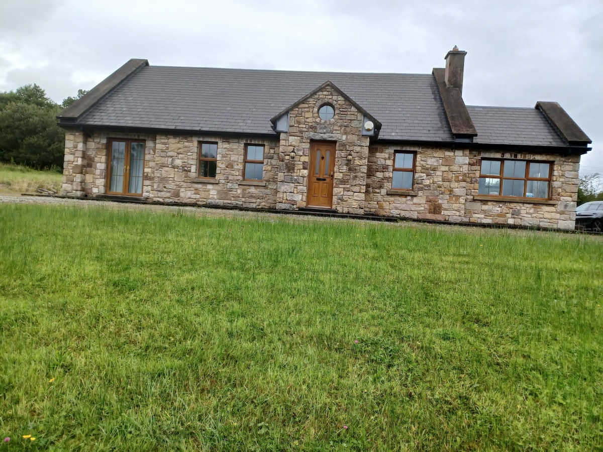 Embanked enclosureFairy fort / earthen ringfort · 1.2 mi
 Enclosure in BeaghEnclosure · 1.6 mi
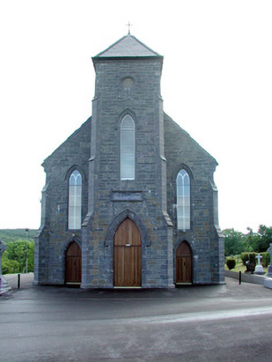 Saint Mary's Catholic Churchchurch/chapel · 2.4 mi
 St. Michaels ChurchChurch · 2.6 mi
 Carrane HillCliff · 3.0 mi
 Old HallCastle, hall-house · 4.0 mi
 CastleCastle, unclassified · 4.0 mi
 Geevagh Prisoners 1908 MemorialMemorial · 5.1 mi
 Cullentra ForestForest · 5.7 mi
 Giants GraveArchaeological place · 5.8 mi
 Riverstown Folk ParkHeritage attraction · 5.8 mi
 SlishwoodWood · 6.0 mi
Other information
Photo: Credit not shown in the picture search · Rights wording not checked; contact us if this picture should be removed