What is recorded here
Kilberrihert lost its mass rock, but Cooper's Rock still leans east toward the sun. The stone chamber is gone, yet the slope keeps the shape of prayer and refuses to forget it.
On SE-facing slope of hill known as Cooper's Rock. According to local information, mass rock formerly located here, now destroyed.
The above description is derived from the published 'Archaeological Inventory of County Cork. Volume 3: Mid Cork' (Dublin: Stationery Office, 1997). In certain instances the entries have been revised and updated in the light of recent research.
Date of upload/revision: 14 January 2009
This remains an important historical record, but the official description says the monument is no longer visible or has been destroyed. The monument record does not grant public access. Check the route and ask the landowner before entering private land.
- What survives
- No visible remains or recorded as destroyed
Places near here
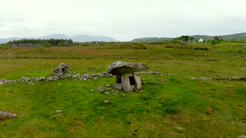 DolmenWedge tomb · 792 yd
 IndicatedKiln, lime · 905 yd
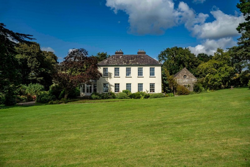 Man-made underground passageMan-made underground passage · 920 yd
 St John the Baptist Roman Catholic Churchchurch/chapel · 1377 yd
 BurrenMountain / peak · 1389 yd
 Black WoodWood · 1.5 mi
 Clonavrick CliffCliff · 1.5 mi
 Ummera WoodWood · 2.9 mi
 Mullinhassig WaterfallWaterfall · 3.5 mi
 Battle of Macroombattle · 3.6 mi
 Macroom WalksVisitor information · 3.6 mi
 Macroom Castle (in Ruins)Castle, tower house · 3.7 mi