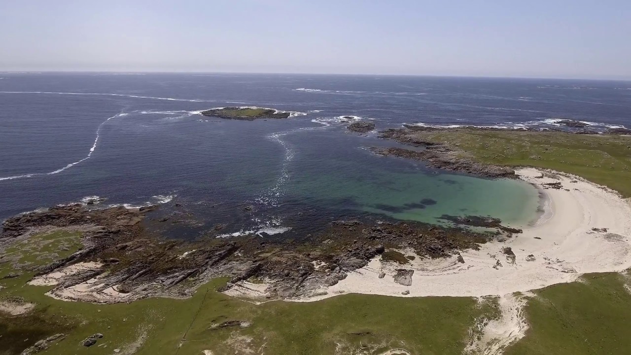
What is recorded here
In low-lying pastureland. This undressed limestone boulder (H 0.8m; c. Wth 1m; T 0.6m) is locally regarded as a mass-rock. One small field stone is set at its base at SW.
Compiled by: Olive Alcock
Date of upload: 8 June 2017
The monument record does not grant public access. Check the route and ask the landowner before entering private land.
- What survives
- Recorded monument
Places near here
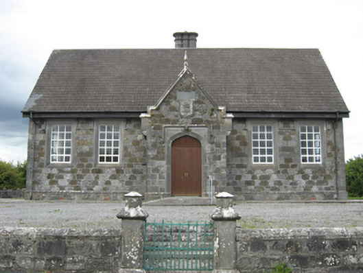 Esker National Schoolschool · 620 yd
 TobermuckinaghHoly well · 847 yd
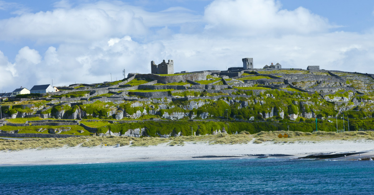 Seymours IslandsIsland · 1118 yd
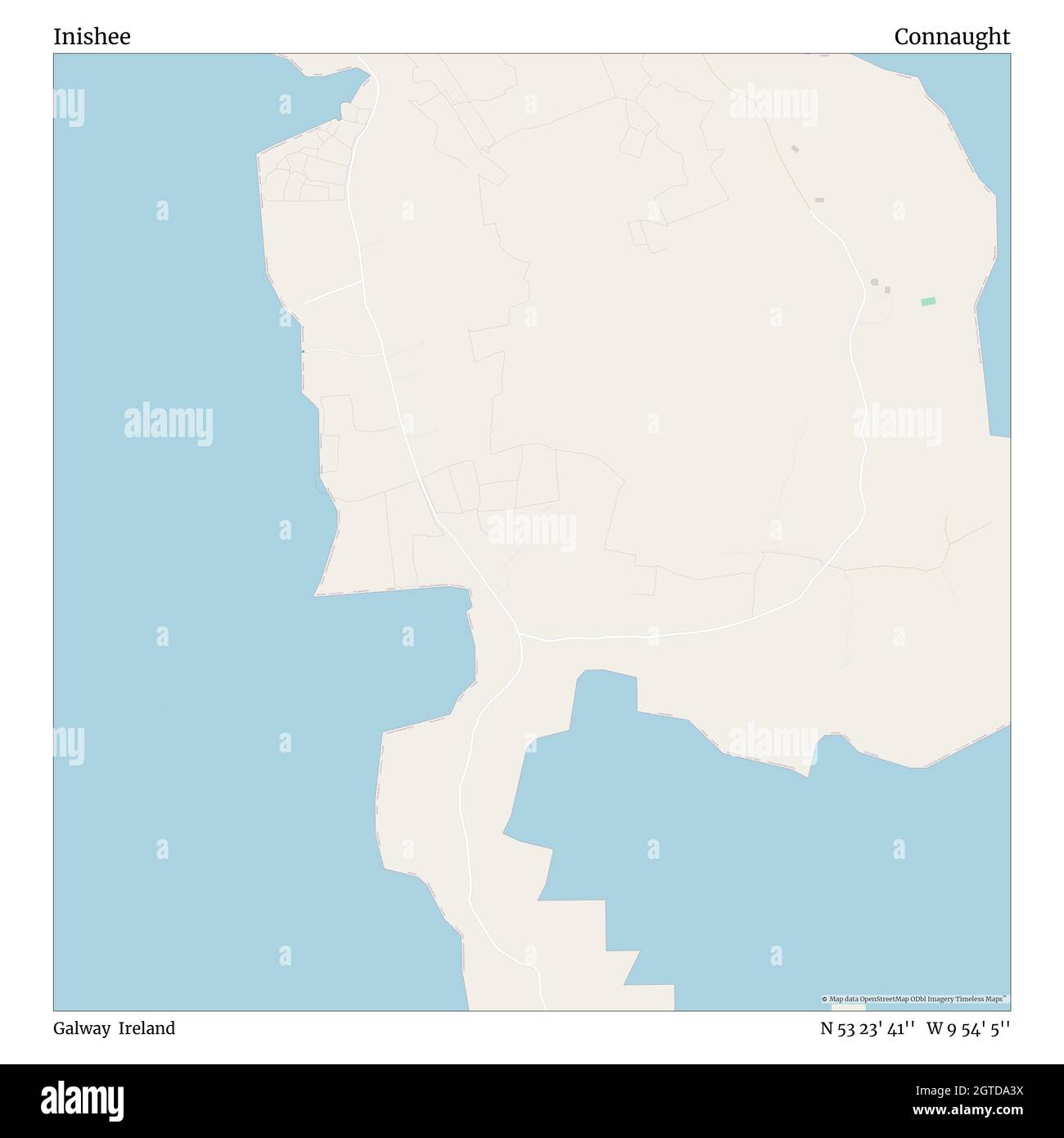 InisheeIsland · 1123 yd
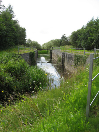 canal (section of)canal (section of) · 1653 yd
 Banagher TowerMartello tower · 1.1 mi
 Banagher MarinaHeritage attraction · 1.3 mi
 Corrigans CornerMemorial · 1.5 mi
 Garry Castle in ruinsCastle, tower house · 2.8 mi
 MeelickVisitor information · 3.0 mi
 Lismore CastleCastle, tower house · 3.0 mi
 Kilbeg WoodWood · 3.1 mi
Other information
Photo: Credit not shown in the picture search · Rights wording not checked; contact us if this picture should be removed