What is recorded here
On the SW-facing slope of a low drumlin, and just outside the fosse of rath (RO018-010002-) at SE. A flat-topped earthfast limestone boulder (dims 1.4m x 0.7-1.05m; H 0.5-0.65m) is known locally as a mass-rock.
Compiled by: Michael Moore
Date of upload: 24 August 2010
The monument record does not grant public access. Check the route and ask the landowner before entering private land.
- What survives
- Recorded monument
Places near here
 Tobermacleggan WellHoly well · 932 yd
 Tober PatrickChurch · 972 yd
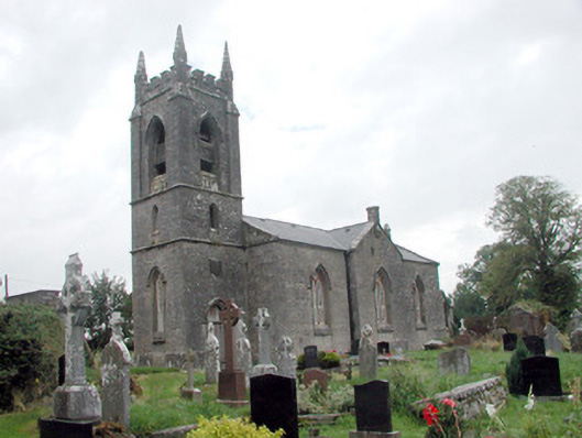 Kilmore Churchchurch/chapel · 1070 yd
 InishmoylinIslet · 1.0 mi
 Coarse IslandForest · 1.3 mi
 Dockery's IslandIslet · 1.4 mi
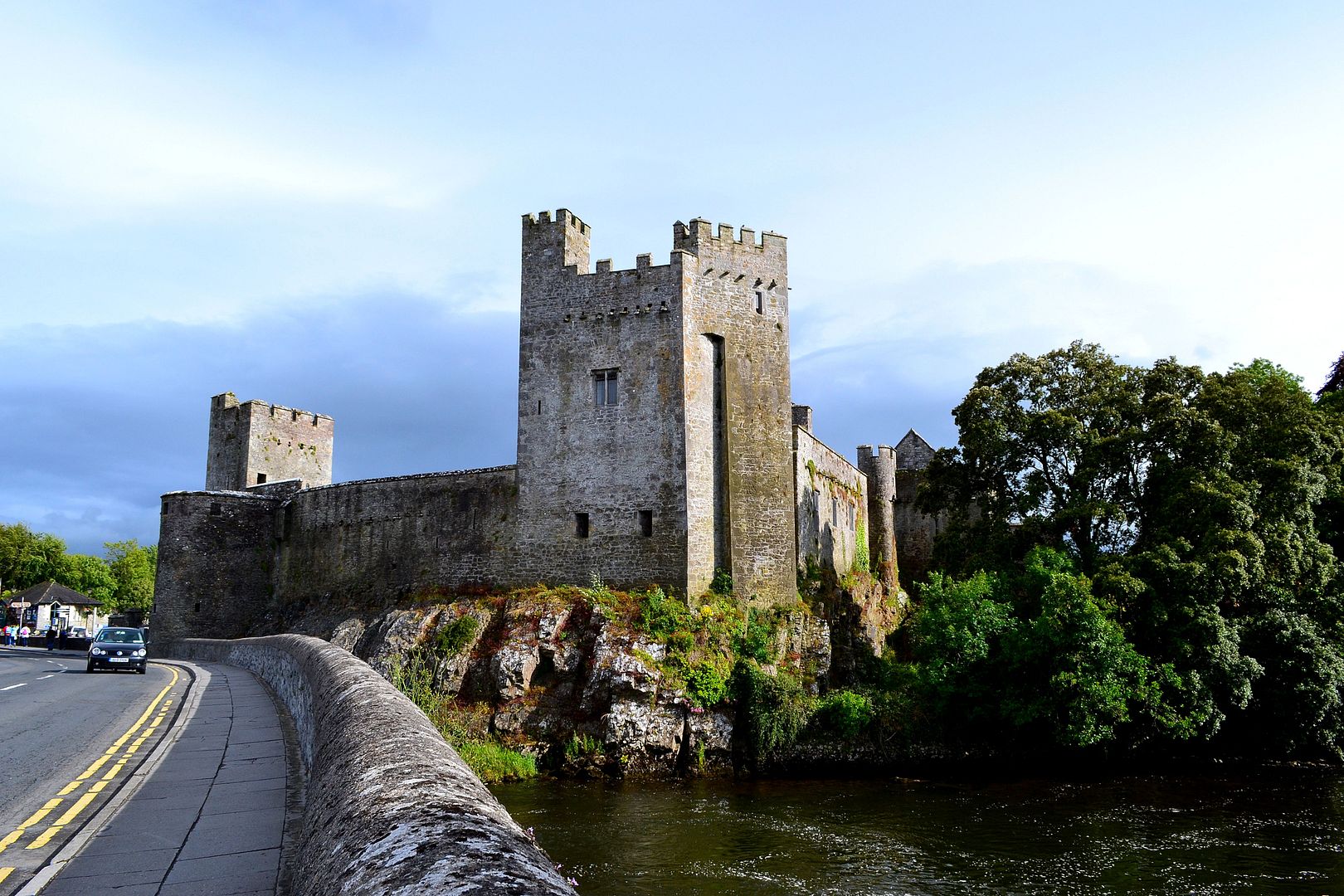 Carrigeen FortArchaeological place · 1.4 mi
 Site of Dangan CastleCastle, unclassified · 1.5 mi
 Tom Dunphy MemorialMemorial · 2.5 mi
 Wildlife AreaNature reserve · 2.7 mi
 Patrick Gill Memorial Plaque (IRA)Monument · 3.0 mi
 Cavan & Leitrim RailwayMuseum · 3.7 mi