
What is recorded here
National Monument No. 532. In pasture on top of Clonin Hill with extensive views of the surrounding countryside. Impressive view of burial mound (OF010-004001-) on top of Croghan Hill 4.5km to W. Natural rock outcrop (H 0.6m x 1.4m x 1.6m) known locally as a mass-rock (SMR File) in SW quadrant of fosse of ring-barrow (OF011-001----). The weathered NW facing surface of the rock contains features of natural weathering except for two horseshoe-shaped symbols and a cross with expanded terminals (SMR File).
Compiled by: Caimin O'Brien
Date of upload: 25 January 2016
The monument record does not grant public access. Check the route and ask the landowner before entering private land.
- What survives
- Recorded monument
Places near here
 Clonin EarthworksMountain / peak · 27 yd
 BarrowBarrow, ring-barrow · 99 yd
 Killure Lodgehouse · 629 yd
 CrossCross, Wayside cross (present location) · 707 yd
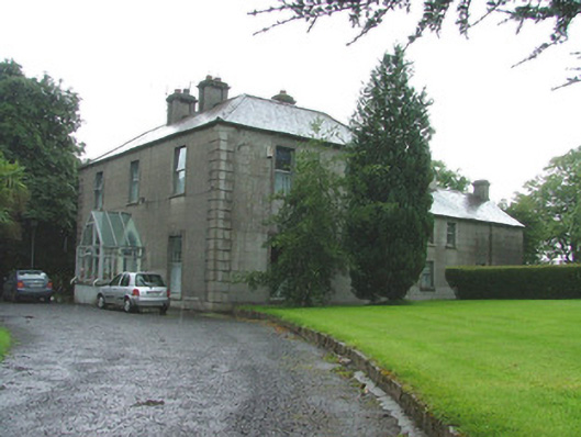 presbytery/parochial/curate's housepresbytery/parochial/curate's house · 722 yd
 Holy PlantationForest · 1316 yd
 Victoria PlantationWood · 1698 yd
 OutlinedBawn · 1.1 mi
 Site of Lady Mary Warrens CastleCastle, unclassified · 1.4 mi
 Moat HillMountain / peak · 2.6 mi
 Croghan HillMountain / peak · 2.8 mi
 Croghan Hill WalkVisitor information · 2.9 mi
Other information
Photo: Credit not shown in the picture search · Rights wording not checked; contact us if this picture should be removed