What is recorded here
Map note: Near Gearra Dubh, Na h-Eileanan Siar, Scotland, the map records Màs Griomasaigh as a headland. The name sounds like a good excuse to explore the nearby coast on the map.
From OpenStreetMap (© OpenStreetMap contributors) n13305295833
Places near here
Photo credits
- Maker not stated on source page, www.wowscotlandtours.com
- Anne Burgess, Wikimedia Commons · CC BY-SA 2.0
- Richard Sutcliffe, Wikimedia Commons · CC BY-SA 2.0
- Maker not stated on source page, www.dreamstime.com
- Maker not stated on source page, commons.wikimedia.org
- Toby Speight, Wikimedia Commons · CC BY-SA 2.0
- Bob Jones, Wikimedia Commons · CC BY-SA 2.0
- Gordon Hatton, Wikimedia Commons · CC BY-SA 2.0
- Stuart Wilding, Wikimedia Commons · CC BY-SA 2.0
- David Purchase, Wikimedia Commons · CC BY-SA 2.0
- Maker not stated on source page, www.archdaily.com
 Eilean a' Bhàigh-ghlaisIslet · 136 yd
 Seana BhaileIsland · 685 yd
 Grimsay, Gearraidh DubhNaust(s) (20th Century) (possible) · 873 yd
 Eilean na MeallairtIslet · 902 yd
 Eilean LeathannIslet · 920 yd
 Eilean Àirigh na HoeIslet · 1158 yd
 Grimsay, Loch Hornary, Dun BanBroch (iron Age) (possible), Causeway (prehistoric), Dun (prehistoric) · 1186 yd
 Dun BanArchaeological place · 1193 yd
 North Uist, Oban An InnseanaichFarmstead (19th Century) · 1369 yd
 Grimsay, Loch CarabhatBuilding(s) (post Medieval) (possible) · 1439 yd
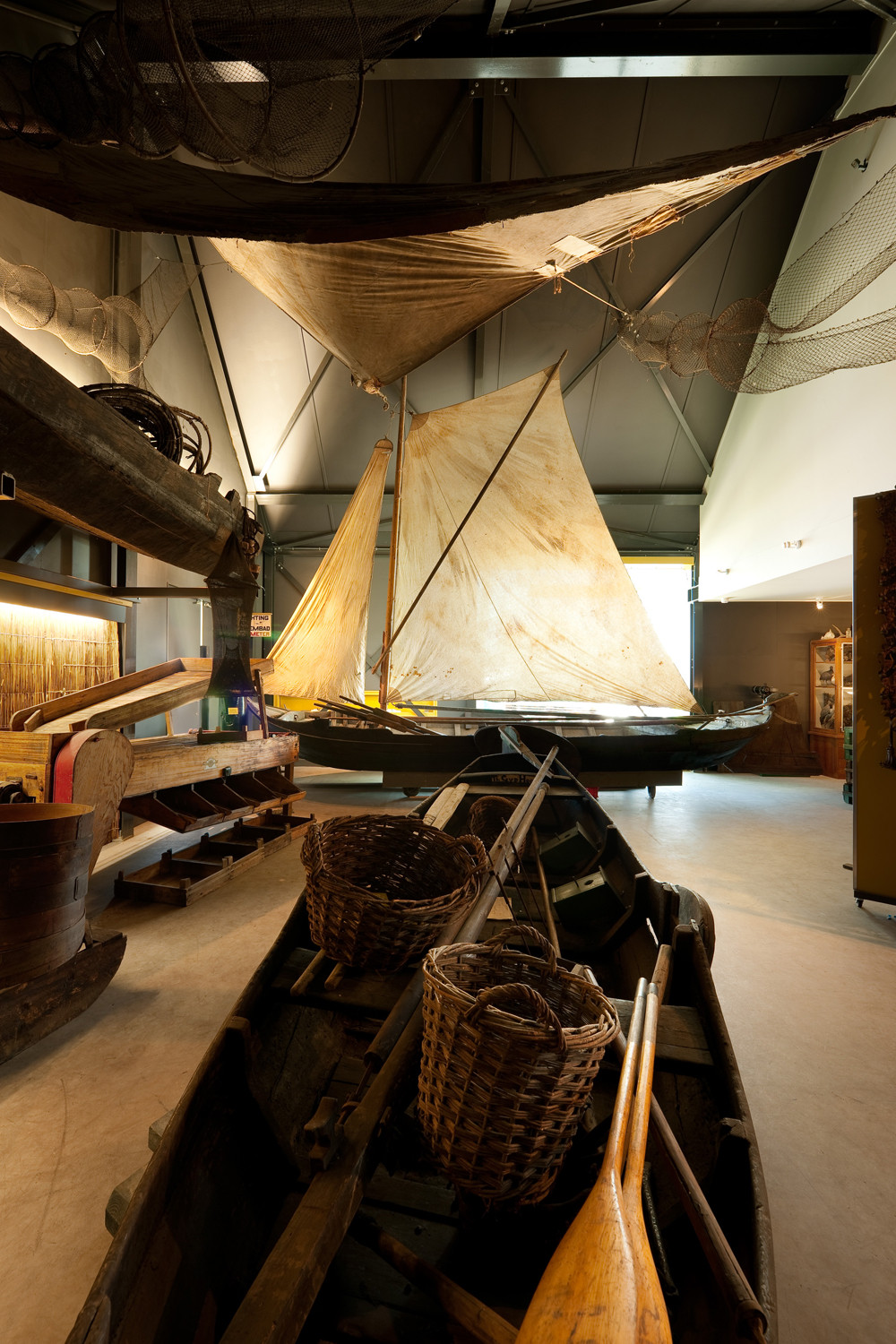 Grimsay Boat MuseumMuseum · 1.2 mi
 Bàgh SgotbheinnBay · 1.5 mi
More cliffs, bays and coast in Na h-Eileanan Siar · All of Na h-Eileanan Siar

What do you know about this place?Tap to add a comment or ask a question