What is recorded here
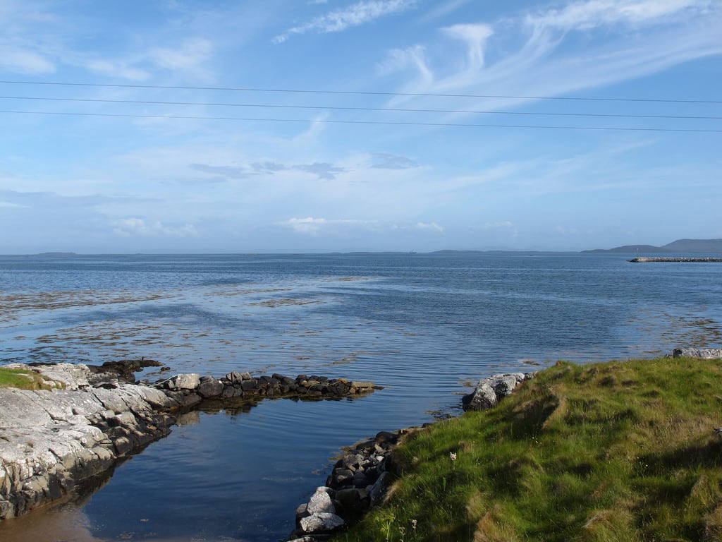
Map note: Màs a' Chnoic is a headland near Griminis, Na h-Eileanan Siar, Scotland. The name sounds like a good excuse to explore the nearby coast on the map.
From OpenStreetMap (© OpenStreetMap contributors) n11179119850
Places near here
Photo credits
- Maker not stated on source page, www.dailymail.co.uk
- Calum McRoberts, Wikimedia Commons · CC BY-SA 2.0
- Maker not stated on source page, hu.pinterest.com
- Maker not stated on source page, hikersbay.com
- Scot Tares, Wikimedia Commons · CC BY-SA 2.0
- Maker not stated on source page, uk.pinterest.com
- Maker not stated on source page, in.pinterest.com
- Stephen Darlington, Wikimedia Commons · CC BY-SA 2.0
- Richard Law, Wikimedia Commons · CC BY-SA 2.0
- Dave Fergusson, Wikimedia Commons · CC BY-SA 2.0
- Alan Reid, Wikimedia Commons · CC BY-SA 2.0
 StangramIslet · 954 yd
 Monument To George BeveridgeMemorial · 1116 yd
 Àird Mhic CaoiltHeadland · 1239 yd
 North Uist, Vallay, Brownie's StoneMan-made underground passage (prehistoric) · 1561 yd
 Traigh HimilighBeach / strand · 1588 yd
 Tràigh BhàlaighBeach / strand · 1622 yd
 North Uist, Vallay Strand, Cnoc A'comhdalachAisled Roundhouse (iron Age), Broch (iron Age) (possible) · 1754 yd
 Eileann Domhnuill a' SpionnaidhIslet · 1.6 mi
 Middlequarter HouseOld home or work place · 2.0 mi
 OireabhalMountain / peak · 2.5 mi
 Bayhead Free Presbyterian Church of ScotlandChurch, cross or graveyard · 4.7 mi
 Aird an RùnairHeadland · 5.8 mi
More cliffs, bays and coast in Na h-Eileanan Siar · All of Na h-Eileanan Siar

What do you know about this place?Tap to add a comment or ask a question