What is recorded here
Sunday's well gives birth to life and Mary's well gives birth to knowing. The eel in Sunday's well is the hidden driver of change. The trout in Mary's well is the visible marker of clarity. An arch connects them, but the real bridge is the change from ignorance to awareness. That is why the place still works.
Two adjacent wells, at foot of short cliff, on W side of road. According to local information, rounds made to cure toothaches, earaches and other "affectations of the head"; according to tradition a trout has been seen in N well (Mary's well) and an eel in S well (Sunday's well) (ibid.). Each well enclosed by circular stone wall (H c. 2.3m; diam. c. 1.7m) corbelled inwards and open at top; rectangular recesses in walls of Mary's well. According to Hartnett (1939, 137), these were once roofed, with a door in each. Arched stone recess between wells with steps leading up to low altar on which stands statue of Blessed Virgin. Limestone slab set into this recess with 'IHS' in false relief and inverted heart inscribed beneath; cross-inscribed stone on ledge of altar; to right of altar, slab of limestone with rough depiction of crucifixion in false relief and incised cross; heart and incised crosses made by pilgrims. Votive offerings on small shelves in altar. Stone steps lead from front of each well to ground level on top of arched recess.
The above description is derived from the published 'Archaeological Inventory of County Cork. Volume 3: Mid Cork' (Dublin: Stationery Office, 1997). In certain instances the entries have been revised and updated in the light of recent research.
Date of upload/revision: 14 January 2009
Linked to Saint Mary, the well is traditionally visited for its healing properties, particularly for ailments affecting the head such as toothaches and earaches. Local folklore mentions the appearance of a trout, possibly signifying the presence of holy or supernatural power in the waters.
The monument record does not grant public access. Check the route and ask the landowner before entering private land.
- What survives
- Recorded monument
Places near here
 Castle Inch (in Ruins)Castle, tower house · 705 yd
 Flooded buildingsRuins · 749 yd
 Bob AdamsMemorial · 889 yd
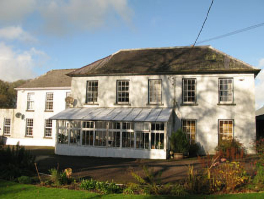 Clashanure Housecountry house · 1335 yd
 Abbey (Site of)Ecclesiastical site · 1364 yd
 Iniscarra Dam ViewViewpoint · 1593 yd
 Church (Remains of)Ecclesiastical enclosure · 1.0 mi
 Graveyard in Carrigane (muskerry East By.)Graveyard · 2.0 mi
 Ballyanly Inniscarra Slí na SláinteWalking route · 2.1 mi
 Coachford Greenway (End)Visitor information · 2.5 mi
 Kilcrea Castle (in Ruins)Castle, tower house · 2.6 mi
 Kilcrea CastleWood · 2.6 mi
Other information
Photo: Credit not shown in the picture search · Rights wording not checked; contact us if this picture should be removed