
What is recorded here
Inishleena Abbey stood on the north bank of the River Lee until the Lee Valley Hydro-electric Scheme drowned it, but excavation in 1956 revealed no ancient church, only a seventeenth-century sandstone building and a burial ground marked by a bullaun stone and holy well. The claim of early foundation rests on legends tying the site to St Senan or St Finbar rather than archaeology, suggesting people preferred a sacred story to an ordinary timeline. Water now covers what pride and memory once shaped, leaving behind a ghost whose age depends on whom you ask.
Formerly on N bank of river Lee; site, known as Inishleena Abbey, was excavated by Fahy in 1956 prior to area being flooded by Lee Valley Hydro-electric Scheme (Fahy 1957b). Before excavation site consisted of roughly rectangular area (c. 24m E-W; c. 21m N-S) enclosed by 'tree-lined bank with stone revetments' (ibid., 65); near W end was bullaun stone (CO072-044003-); holy well (CO072-045----) short distance to NE. Interior archaeologically excavated except for burial ground (CO072-044001-); earliest phase uncovered consisted of 'a two-roomed building of sandstone rubble bonded with lime mortar' (ibid., 68), to which a third room was subsequently added; the earlier building did not appear to be earlier than the 17th century. According to Fahy (ibid., 69), 'the next significant activity on the site was the conversion of its south-eastern corner into a burial ground perhaps one hundred and fifty years ago'. At about same time enclosing bank constructed. Excavation failed to produce evidence in support of claim that this was an early ecclesiastical site (ibid.). Claim based on reference to a foundation here in life of St Senan and the fact that it was later apossession of Gill Abbey (Fahy et al., 1958); Gwynn and Hadcock (1988, 387) attribute its foundation to St Finbar.
The above description is derived from the published 'Archaeological Inventory of County Cork. Volume 3: Mid Cork' (Dublin: Stationery Office, 1997). In certain instances the entries have been revised and updated in the light of recent research.
Date of upload/revision: 14 January 2009
The monument record does not grant public access. Check the route and ask the landowner before entering private land.
- What survives
- Recorded monument
Places near here
 Corn Mill (Disused)Mill, corn · 830 yd
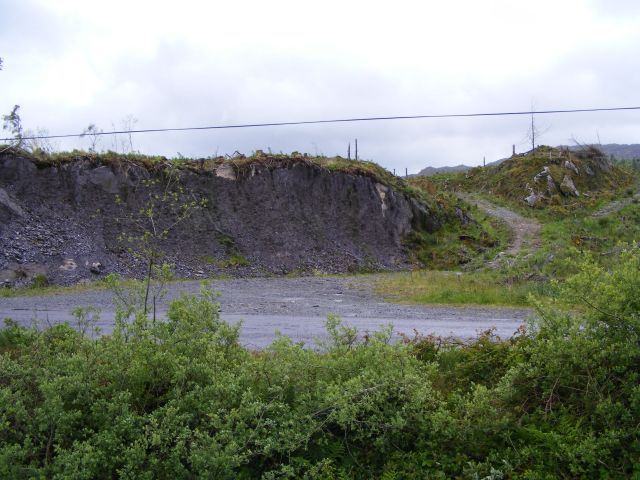 Quarry in CronodyQuarry · 962 yd
 Bob AdamsMemorial · 1091 yd
 Marys Well, Sundays WellHoly well · 1364 yd
 Church (Remains of)Ecclesiastical enclosure · 1544 yd
 Castle Inch (in Ruins)Castle, tower house · 1.1 mi
 Iniscarra Dam ViewViewpoint · 1.7 mi
 Ballyanly Inniscarra Slí na SláinteWalking route · 1.9 mi
 Coachford Greenway (End)Visitor information · 2.0 mi
 Farran WoodWood · 2.3 mi
 Graveyard in Carrigane (muskerry East By.)Graveyard · 2.8 mi
 Carrignamuck Tower HouseCastle · 2.8 mi
Other information
Photo: Credit not shown in the picture search · Rights wording not checked; contact us if this picture should be removed