What is recorded here
Mapped graveyard is a graveyard in County Waterford, Ireland. Perhaps the dead lie beneath soil so thin the living forget to bury them twice. Maybe the stones mark no one because the field itself is the memorial. Imagine walking past rows of empty dirt while the true graves hide underneath, waiting for rain to reveal their shapes.
Mapped graveyard is a graveyard in County Waterford, Ireland.
Places near here
 Saint Andrew's Church (Killea)church/chapel · 7 yd
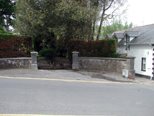 Grove Housegates/railings/walls · 34 yd
 Castle in ruinsCastle, Anglo-Norman masonry castle · 119 yd
 Ladies CoveBeach / strand · 119 yd
 The WoodsWalking route · 389 yd
 Councillors StrandBeach / strand · 456 yd
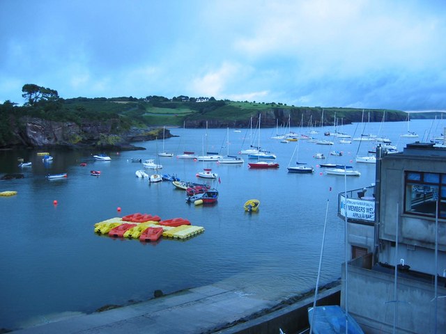 Harbour and Park walk.Walking route · 467 yd
 Promontory fortPromontory fort, coastal · 610 yd
 Lost at Sea Memorial WallMemorial · 785 yd
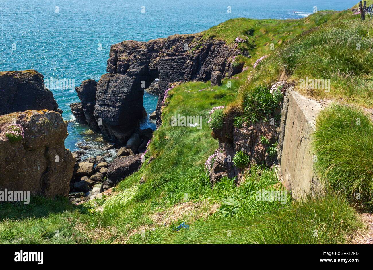 Enclosure in DunmoreEnclosure · 893 yd
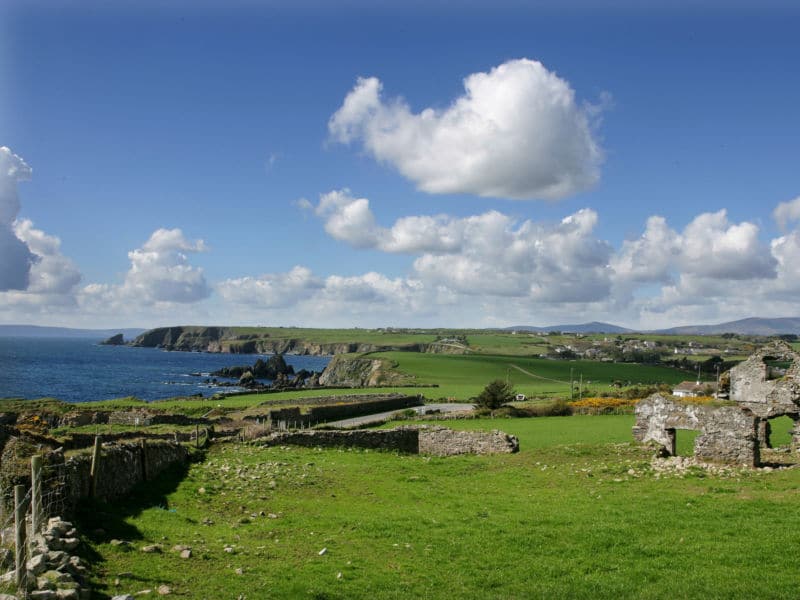 South East Coastal DriveVisitor information · 2.0 mi
 Knockavelish HeadHeadland · 2.4 mi